Gira tu dispositivo para una experiencia óptima
Gira tu dispositivo para una experiencia óptima


Length: 1.5 km
Duration: 30 minutes
Difficulty: low
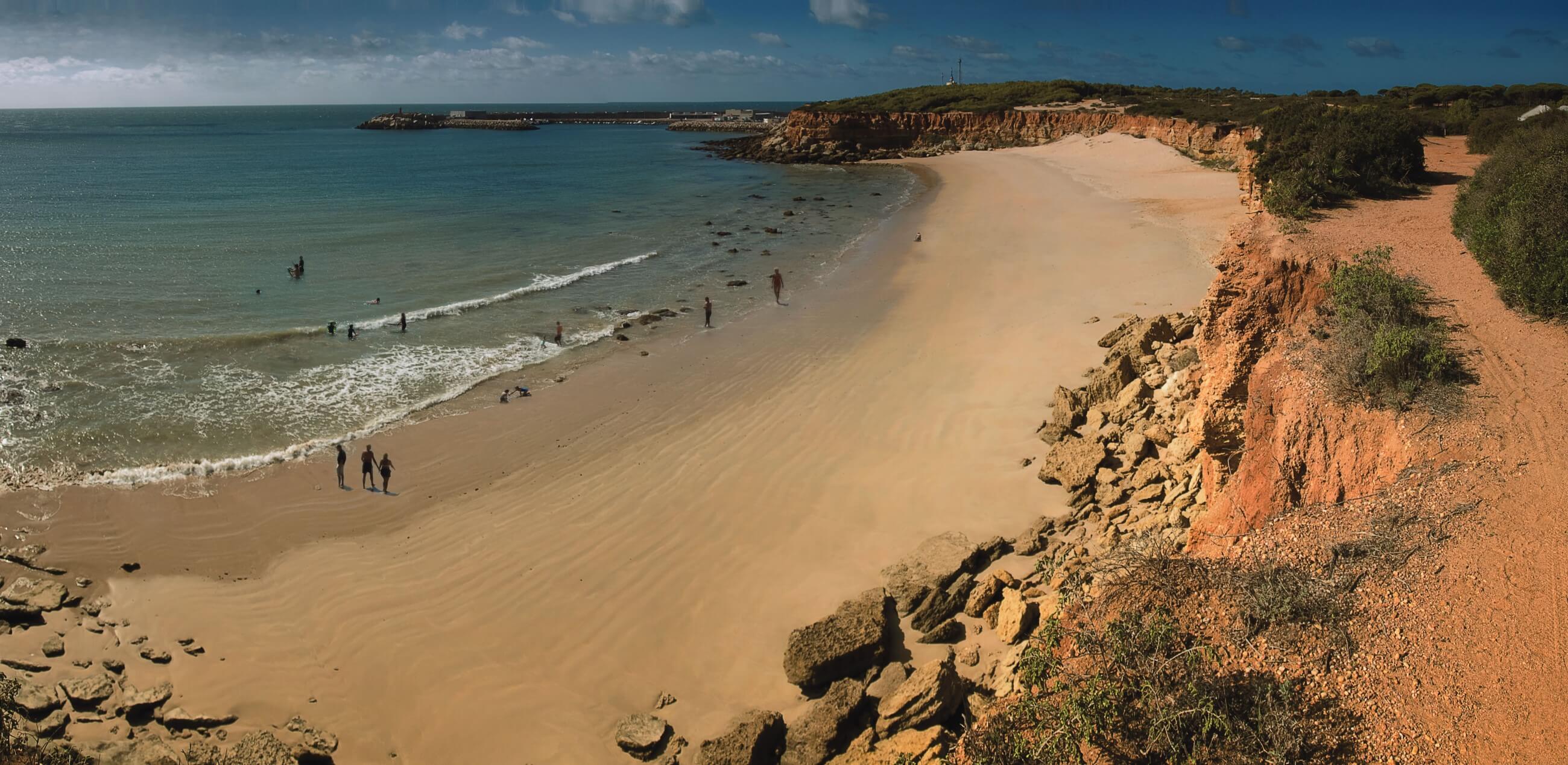
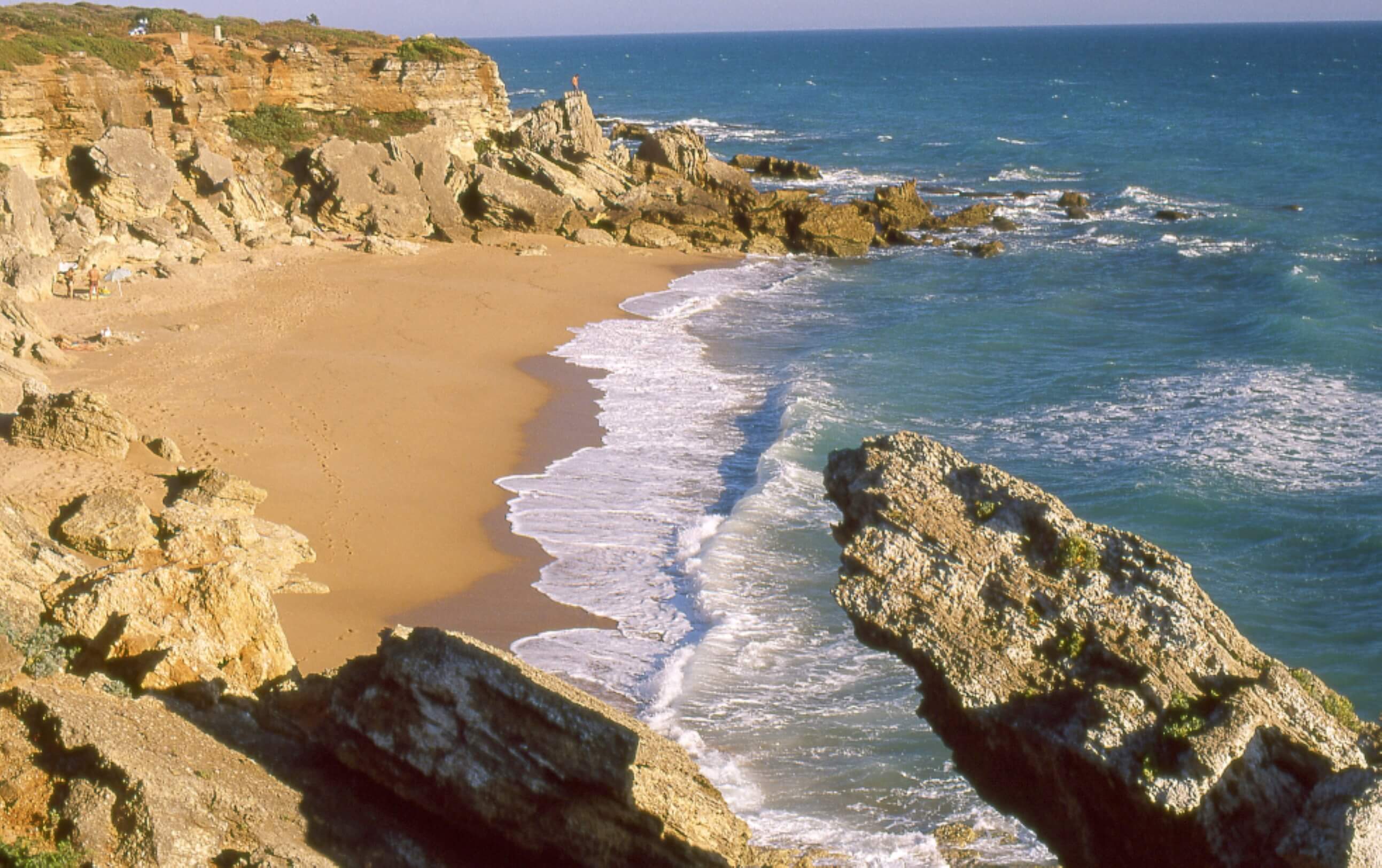
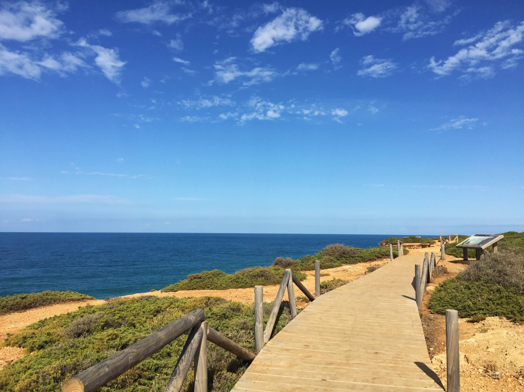
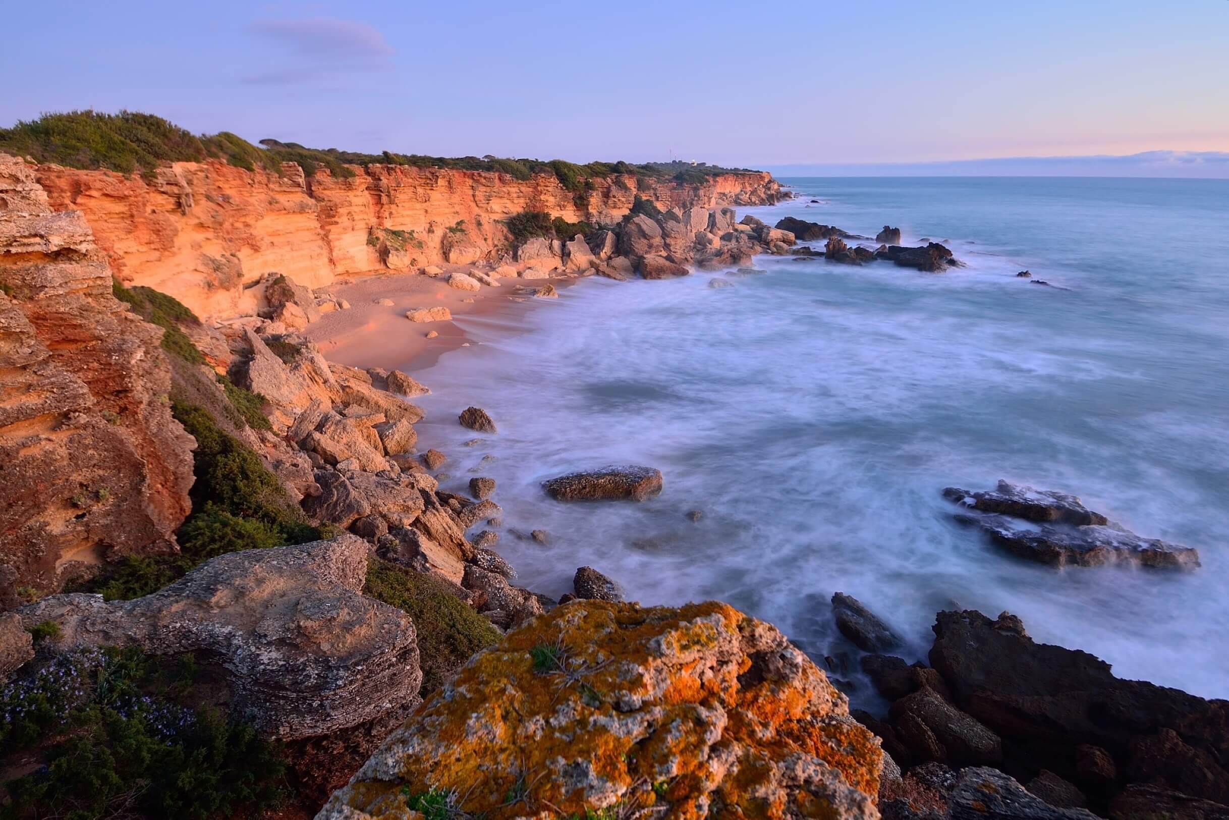
This trail begins and runs along a strip of cliffs between the Roche Housing Development and the Roche Lighthouse, formerly a watchtower. Along the path you can see mastic trees, fan palms, gorse plants, rosemary and juniper as the main species. These plant species take on a crawling appearance, somewhat lying down due to the onslaught of the wind. During the journey, the walker can enjoy moments of tranquility in some of the golden sand coves formed at the entrances of the cliffs. The path ends at Roche Lighthouse, from where you can enjoy the views in the distance of the Trafalgar Lighthouse, Conil de la Frontera, the Fuente del Gallo and the Cala del Aceite Cliff.
How to get there: The trail begins next to the Hotel ILunion Calas de Conil in the Roche housing development. This housing development can be accessed by the N-340 (Cádiz-Tarifa) or from Conil de la Frontera by the CA-4202 (Espigón de Conil). You can also begin in the opposite direction from the Cape Roche Lighthouse.
Brochure of the trail with further information, technical data sheet, profile of the route, recommendations and topographic map of the route: