Gira tu dispositivo para una experiencia óptima
Gira tu dispositivo para una experiencia óptima


Length: 3.5 km
Duration: 1 hour 15 minutes
Difficulty: low
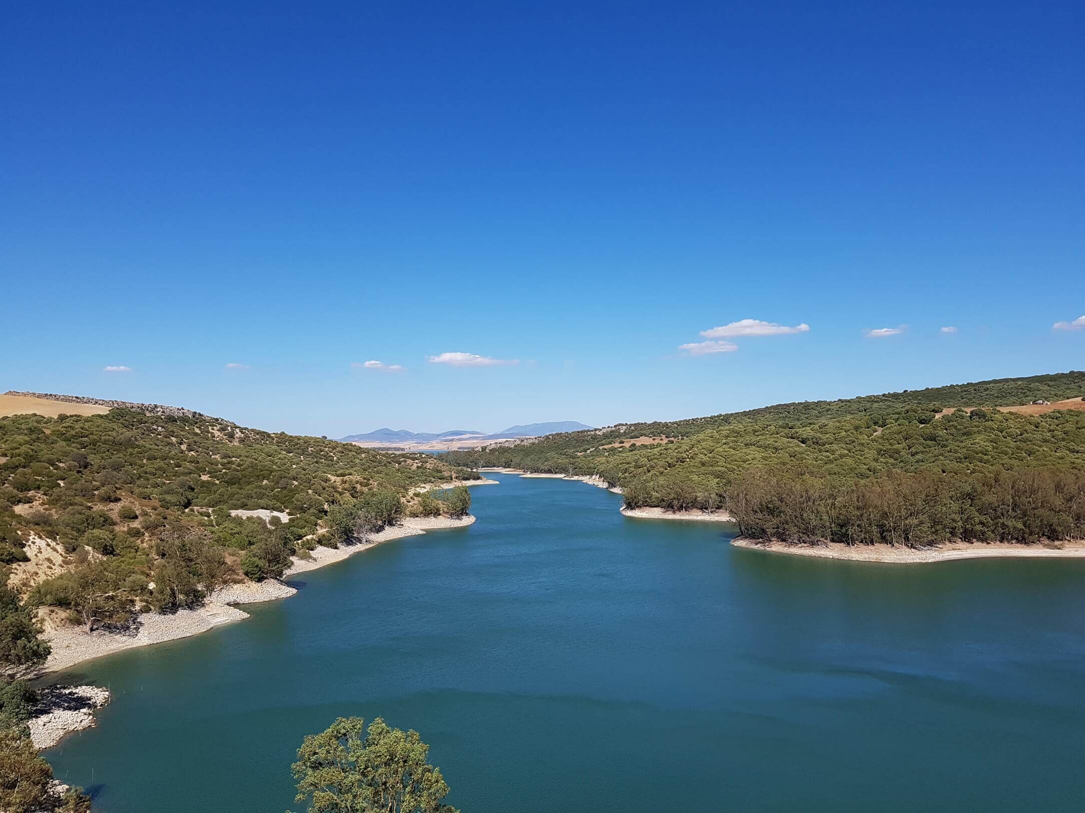
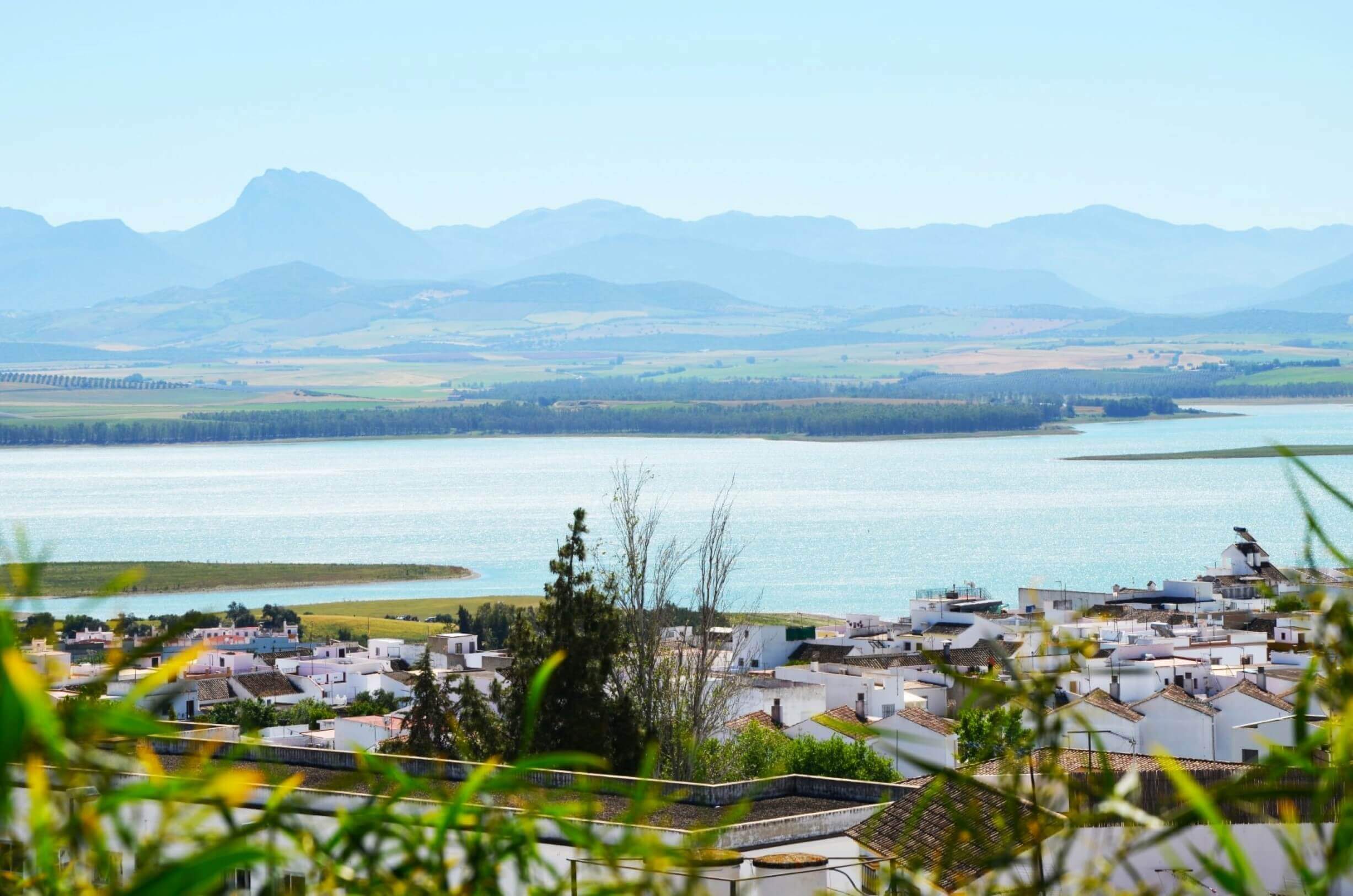
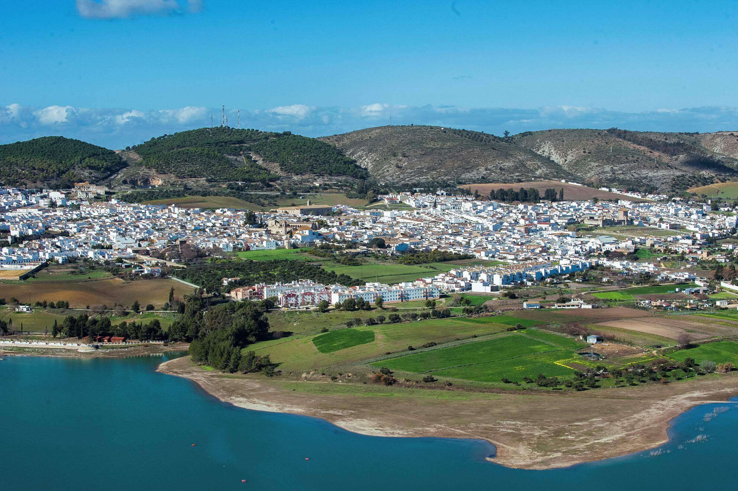
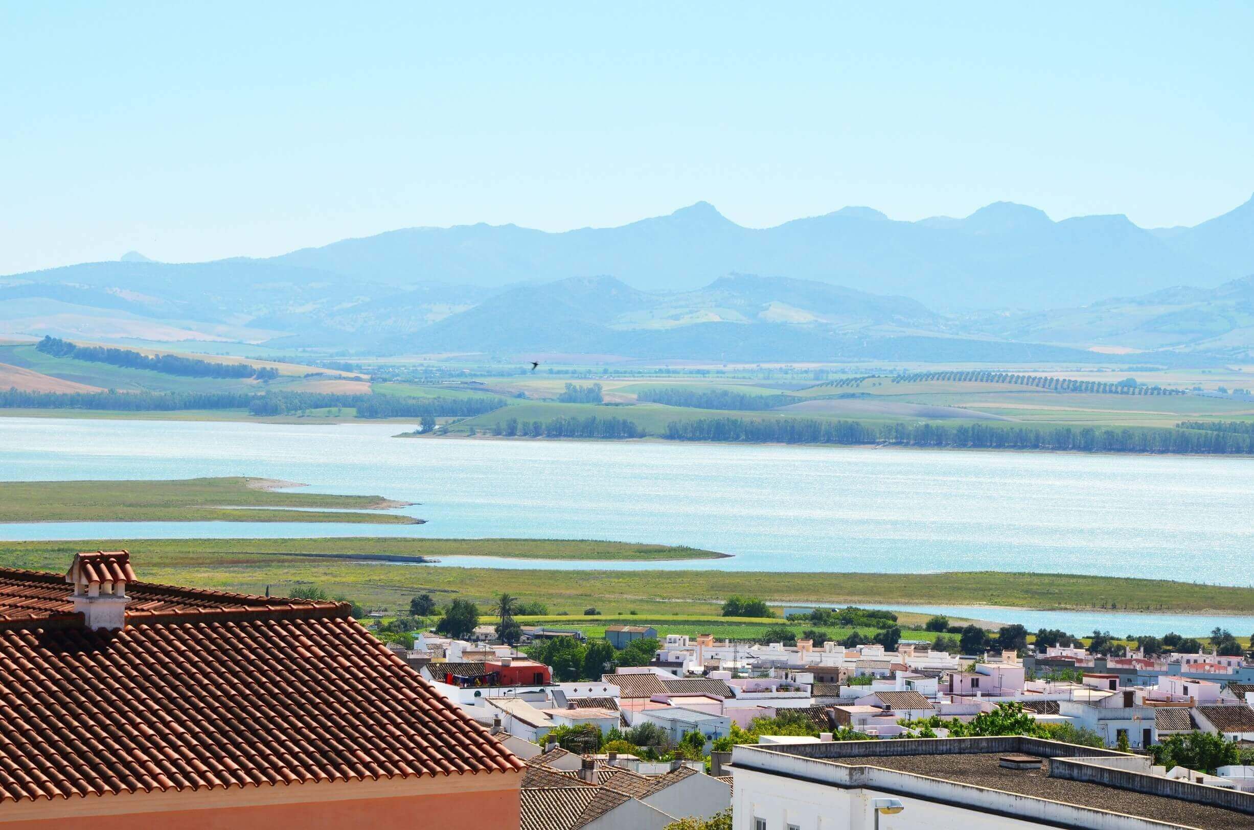
This trail involves a walk along the banks of the Bornos reservoir, located on the River Guadalete, a riverside area subject to periods of flooding where different waterfowl nest and where it is possible to observe Taraje islands. The trail runs along a dirt track that follows the route of the old Jerez-Almargen railway. It goes through several tunnels and there are excellent views of the main mountain ranges of the Grazalema Natural Park and the Mediterranean woodland that covers the hills and countryside around Bornos. The Bornos tunnel III stands out as a refuge for a greater and lesser mouse-eared bat breeding colony, with over 5000 individuals.
Brochure of the trail with further information, technical data sheet, profile of the route, recommendations and topographic map of the route: