Gira tu dispositivo para una experiencia óptima
Gira tu dispositivo para una experiencia óptima


Length: 4.1 km
Duration: 1 hour and 30 minutes
Difficulty: low
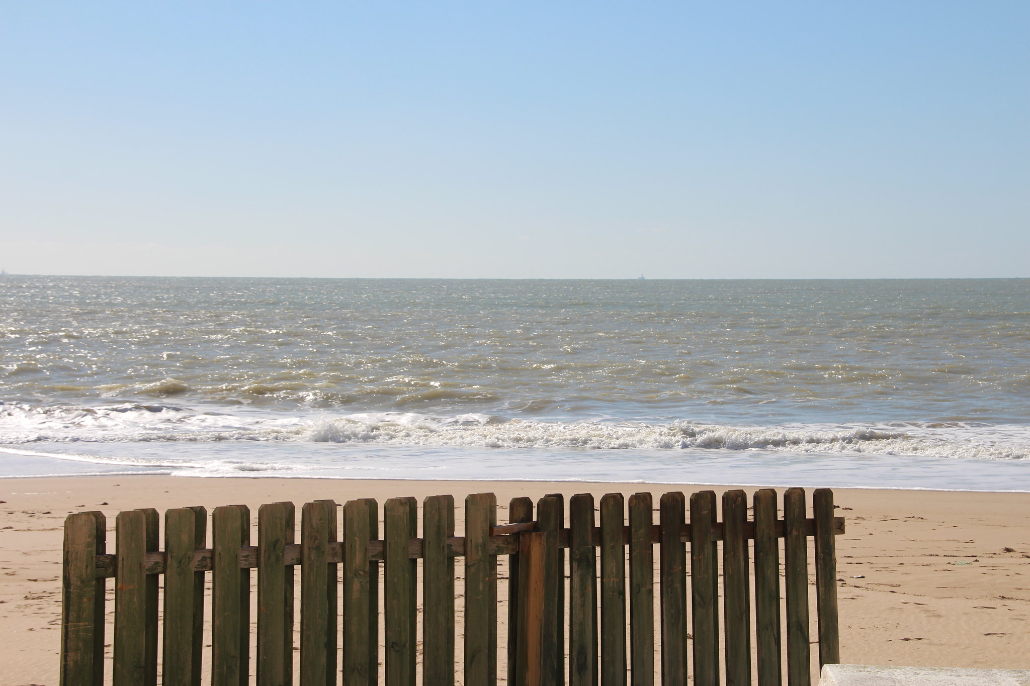
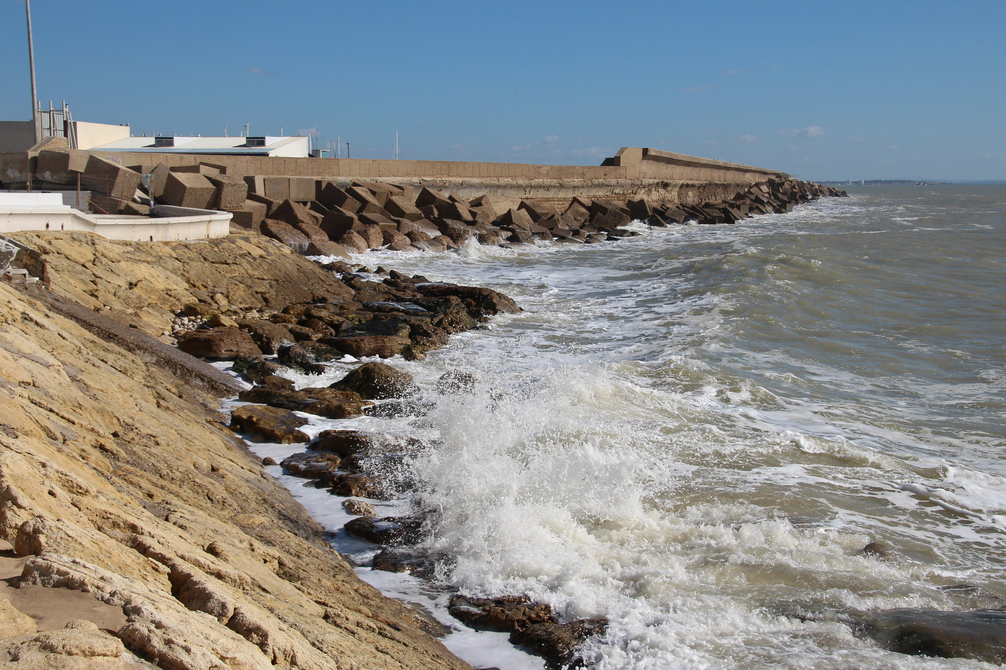
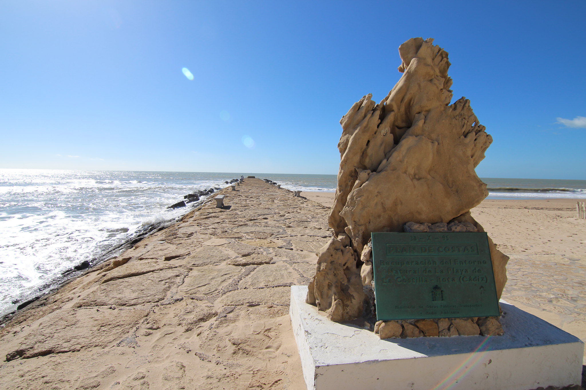
This trail runs along the Rota coast, from the Virgen del Mar housing development to Punta Candor Beach. The route continues along wooden footbridges that cross all of the Rota Pine Forest. These footbridges also connect with beach accesses and scenic lookouts where you can enjoy beautiful views. During the journey, there are some areas of interest that are worth a stop along the way. One of them is at the beginning of the trail, the Atlantic Park. Subsequently, there is a visitor center where you can appreciate the cultural value of the area. In the visitor center, information is displayed about the fishing pens, a traditional form of fishing associated with a way of life that is found in this area of the coast. The third stop of interest is the Celestino Mutis Botanical Garden, where you can find native species of the municipality.
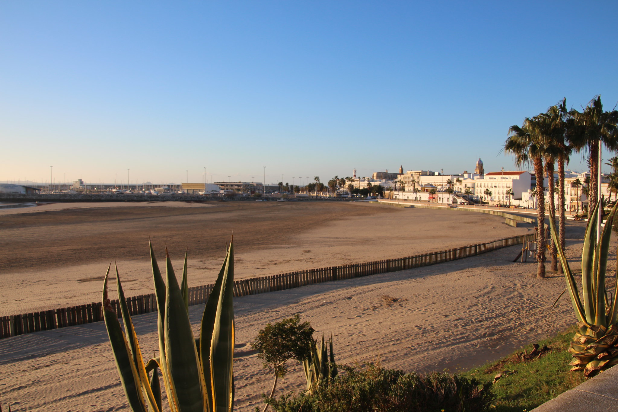
How to get there: The beginning is located on Calle Santiago Guillén Moreno along the Paseo Marítimo de La Costilla, in Rota’s urban center.
Brochure of the trail with further information, technical data sheet, profile of the route, recommendations and topographic map of the route: