Gira tu dispositivo para una experiencia óptima
Gira tu dispositivo para una experiencia óptima


Length: 2.4 km
Duration: 50 minutes
Difficulty: low
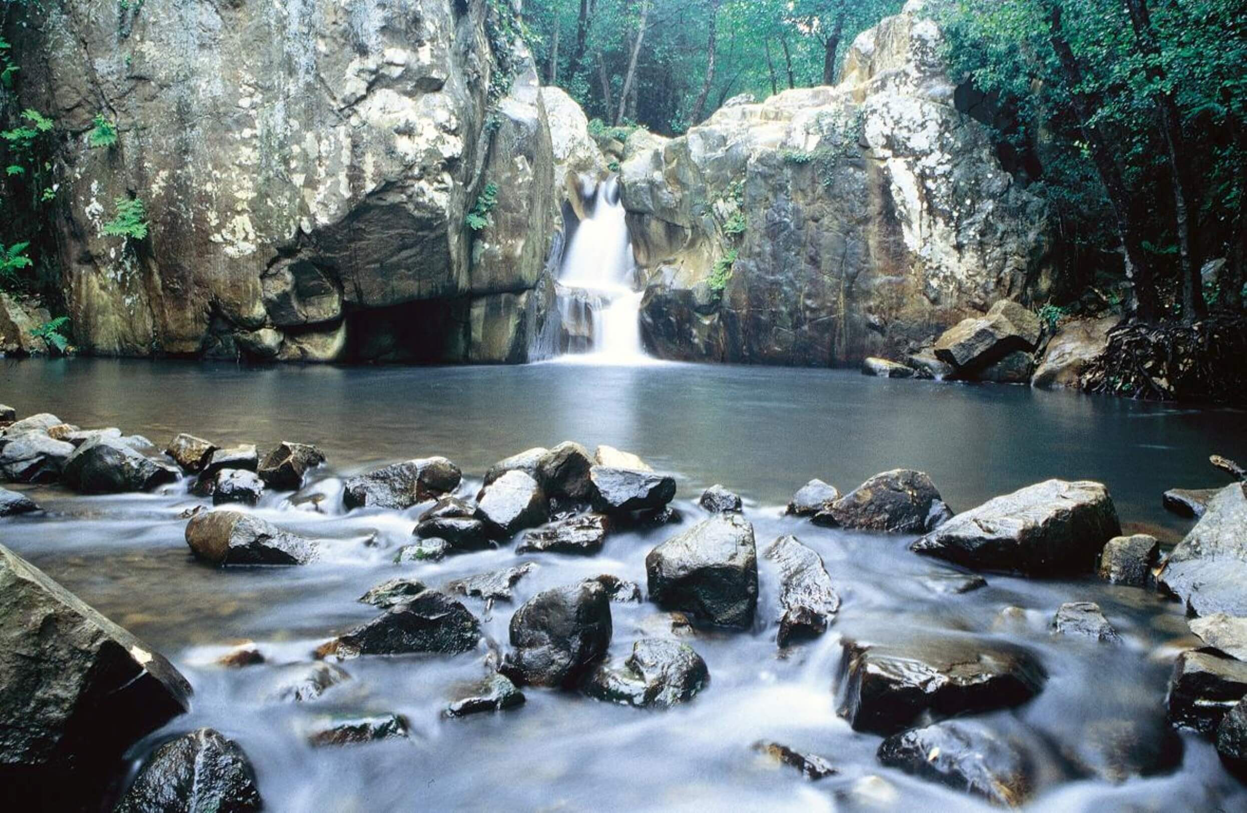
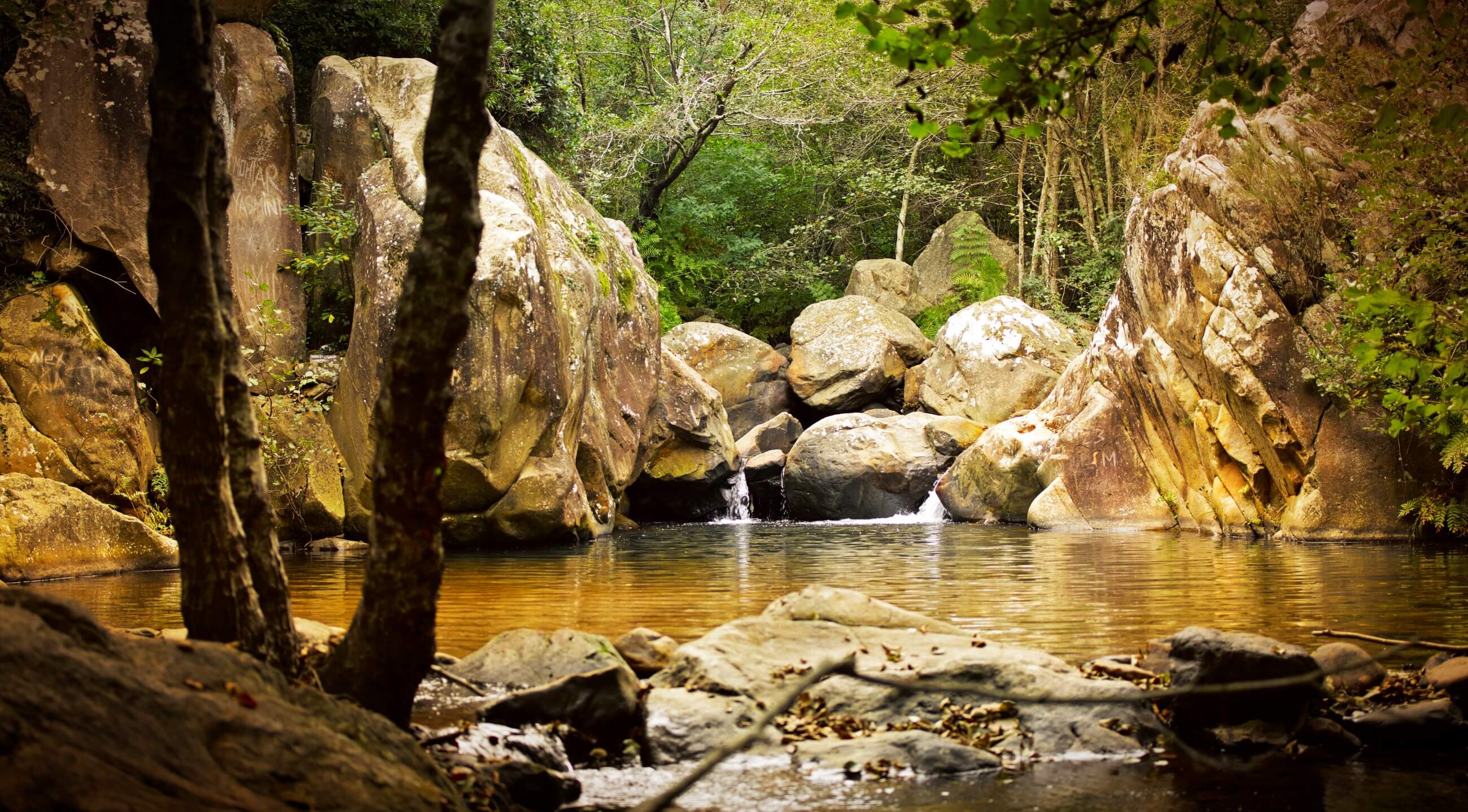
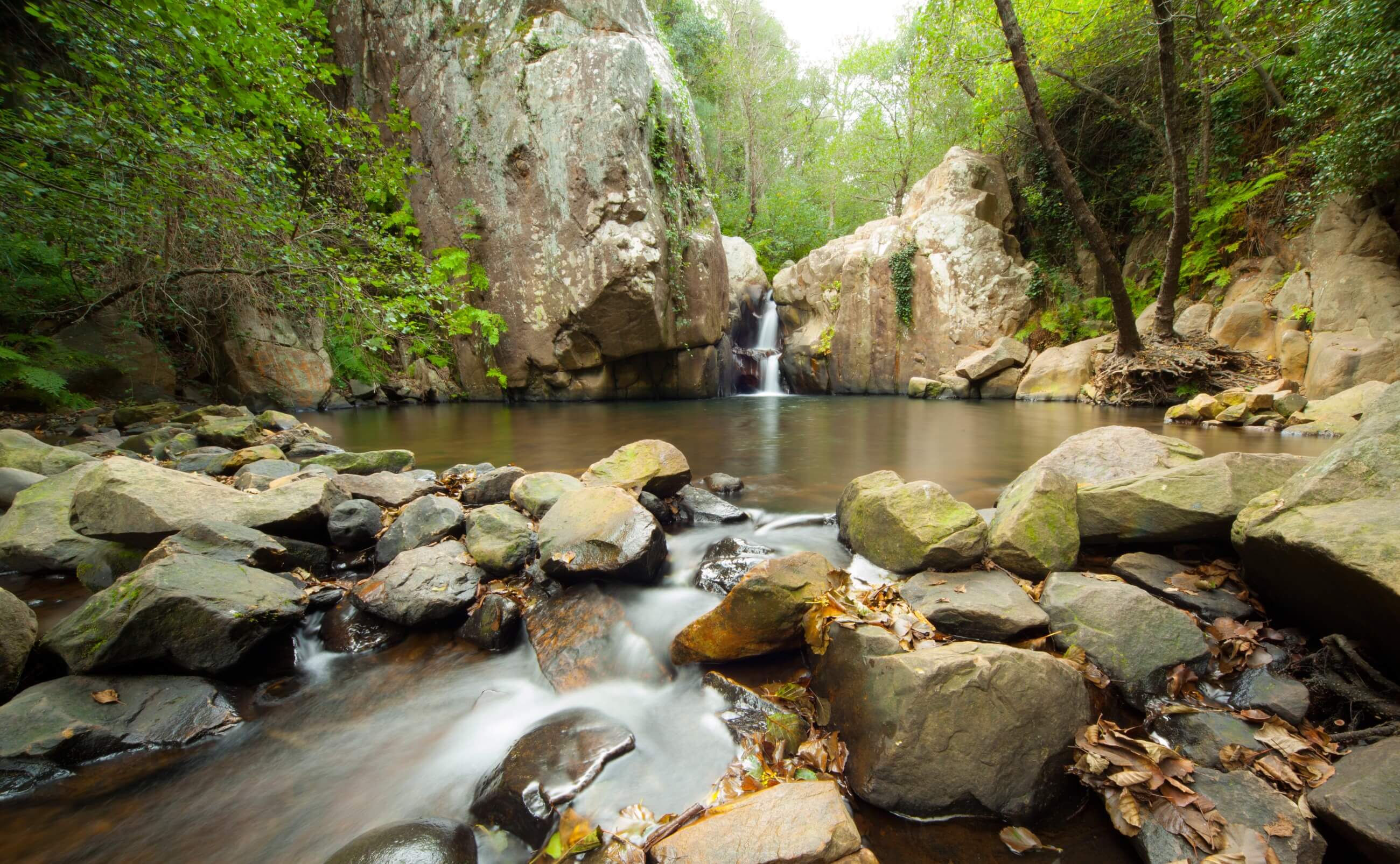
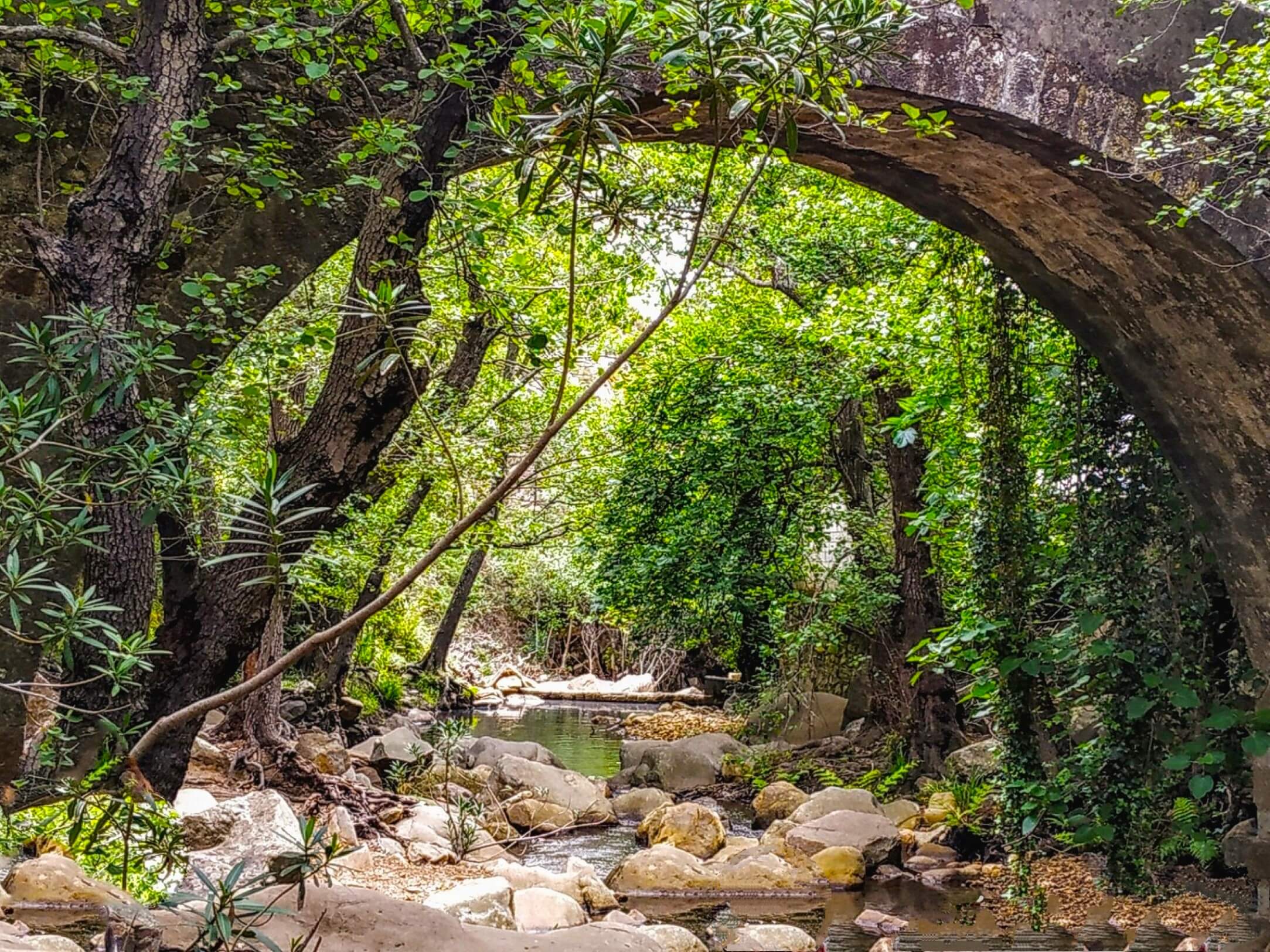
This trail runs along the banks of the Miel River between natural and cultural elements. Ruins of irrigation ditches and mills, cobblestone roads, a medieval-style bridge or the Las Niñas Fountain, can be perceived among the lush vegetation of this tropical forest, the last stronghold of the forests that populated the continent millions of years ago. The density of the vegetation in these riverside forests forces numerous climbing plants to become entangled in the trunks in search of light, building a canopy, creating a special climate that has allowed the survival of species that have disappeared from the rest of the European continent, such as rhododendron or the pontic rhododendron. A focal point in this area is one of the best alders of the natural park. The abundance of water led to the installation of flour mills in these gorges that took advantage of the clean energy to operate these hydraulic mills. The trail ends at a beautiful waterfall.
How to get there: The route begins in the El Cobre district (Algeciras). To get here, take exit 103 of the Autovía del Mediterráneo (A-7), direction of Barriada El Cobre via road CA-9208. From Maestra Maria Luisa Street there is a forest path marked as the beginning of the trail.
Brochure of the trail with further information, technical data sheet, profile of the route, recommendations and topographic map of the route: