Gira tu dispositivo para una experiencia óptima
Gira tu dispositivo para una experiencia óptima


Length: 3.9 km
Duration: 1 hour 30 minutes
Difficulty: low
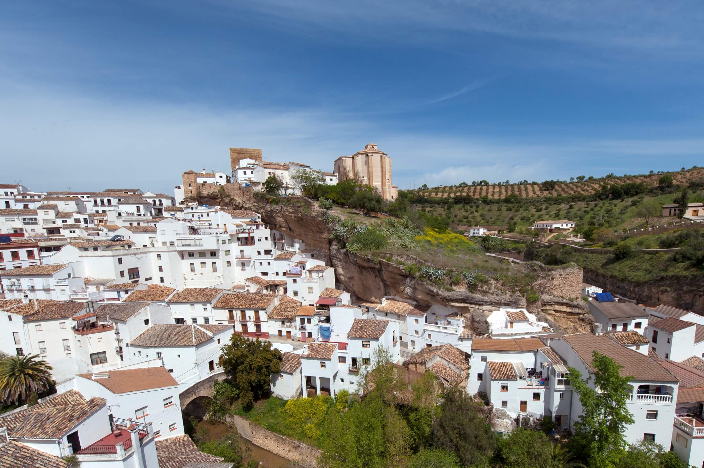
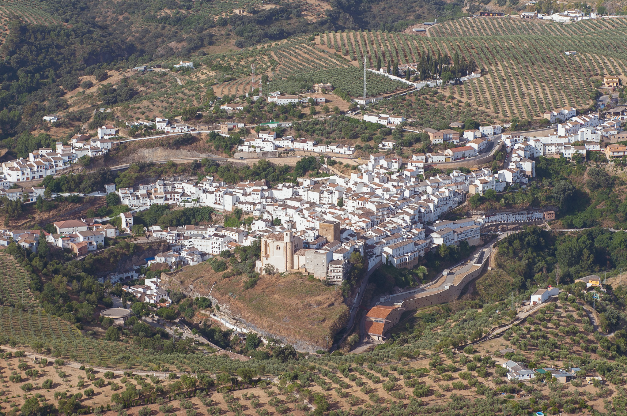
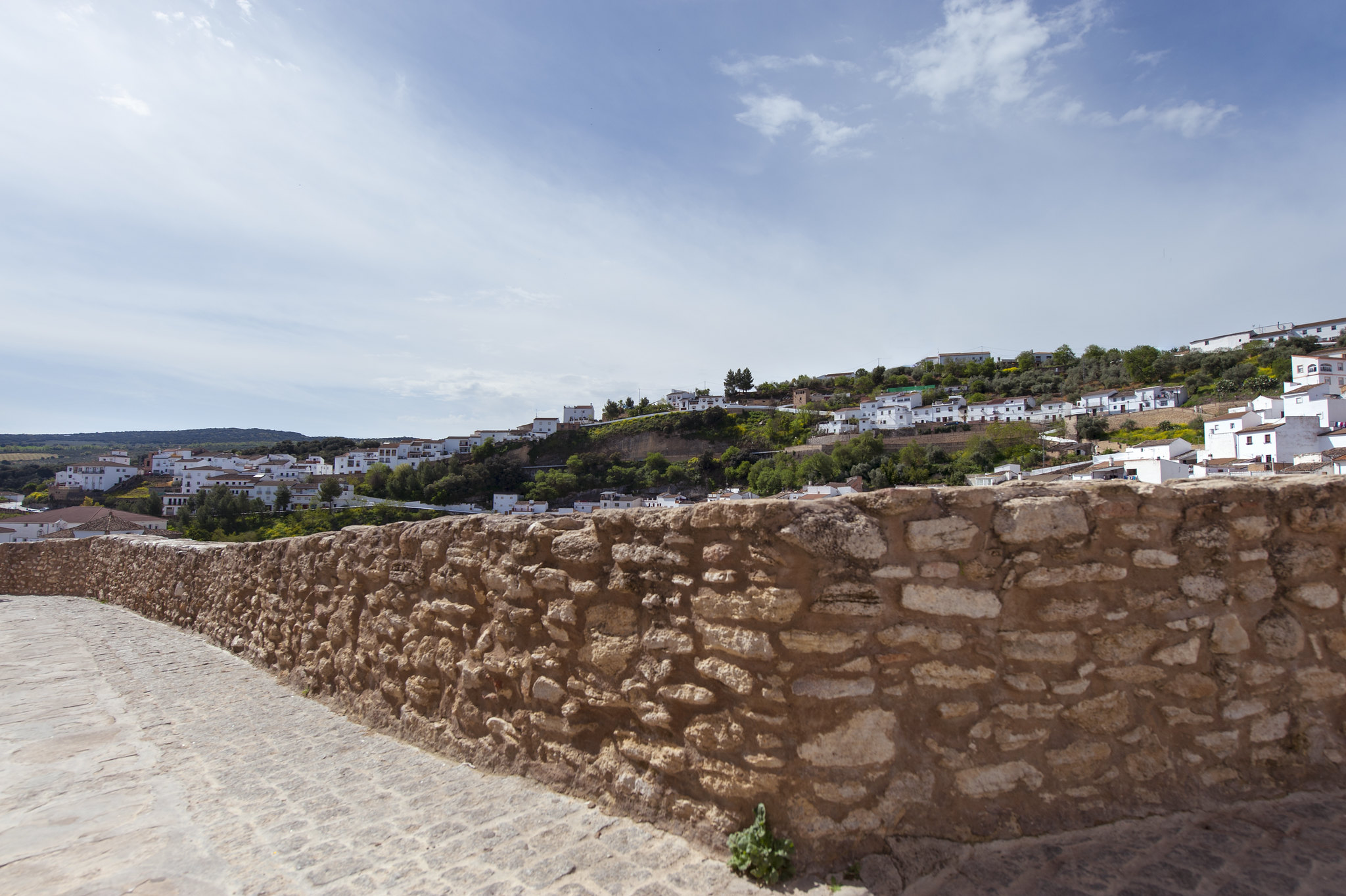
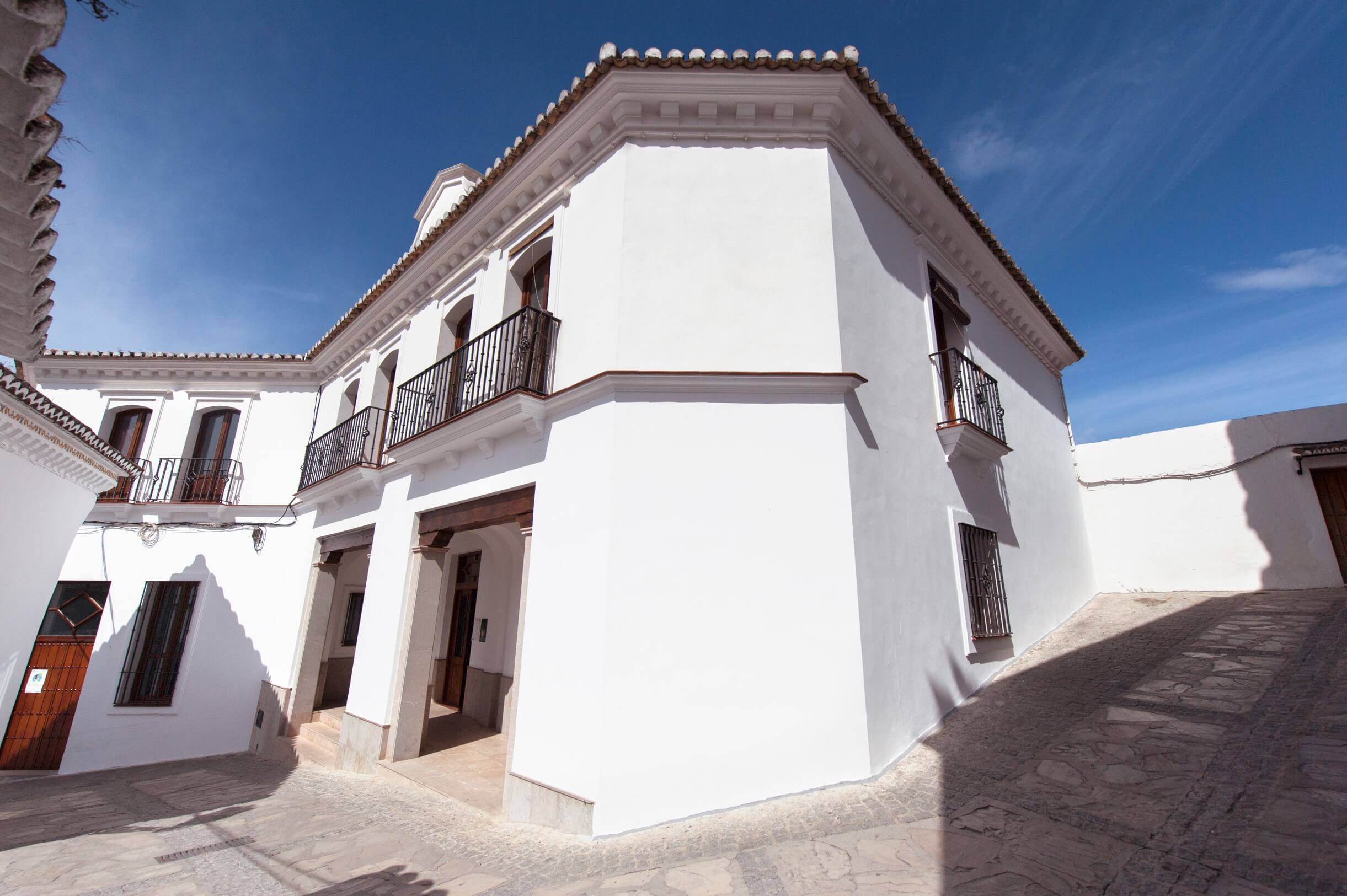
This trail is regarded as a panoramic route from Setenil de las Bodegas to the Caños Santos monastery, a 16th century sanctuary. The trail follows the cattle routes Cordel del Camino de Málaga, Cañada de Ronda a Osuna and Cañada Real de Málaga, passing through a series of hills of medium height where the autochthonous Mediterranean vegetation has been transformed for livestock farming and olive growing, only small islands of woodland surviving. The network of cattle routes the trail follows were some of the most important means of communication with other Andalusian cities between the 16th and 19th centuries. On the last stretch of the route you can see kestrels, shrikes and swifts flying over the meadows. The route ends at the Caños Santos monastery, with its splendid gardens, today converted into a cultural centre and guesthouse.
How to get there: The trail starts at the exit of Setenil de las Bodegas towards Alcalá del Valle on the CA-9121 road.
Brochure of the trail with further information, technical data sheet, profile of the route, recommendations and topographic map of the route: