Gira tu dispositivo para una experiencia óptima
Gira tu dispositivo para una experiencia óptima


Length: 3.4 km
Duration: 1 h
Difficulty: Low
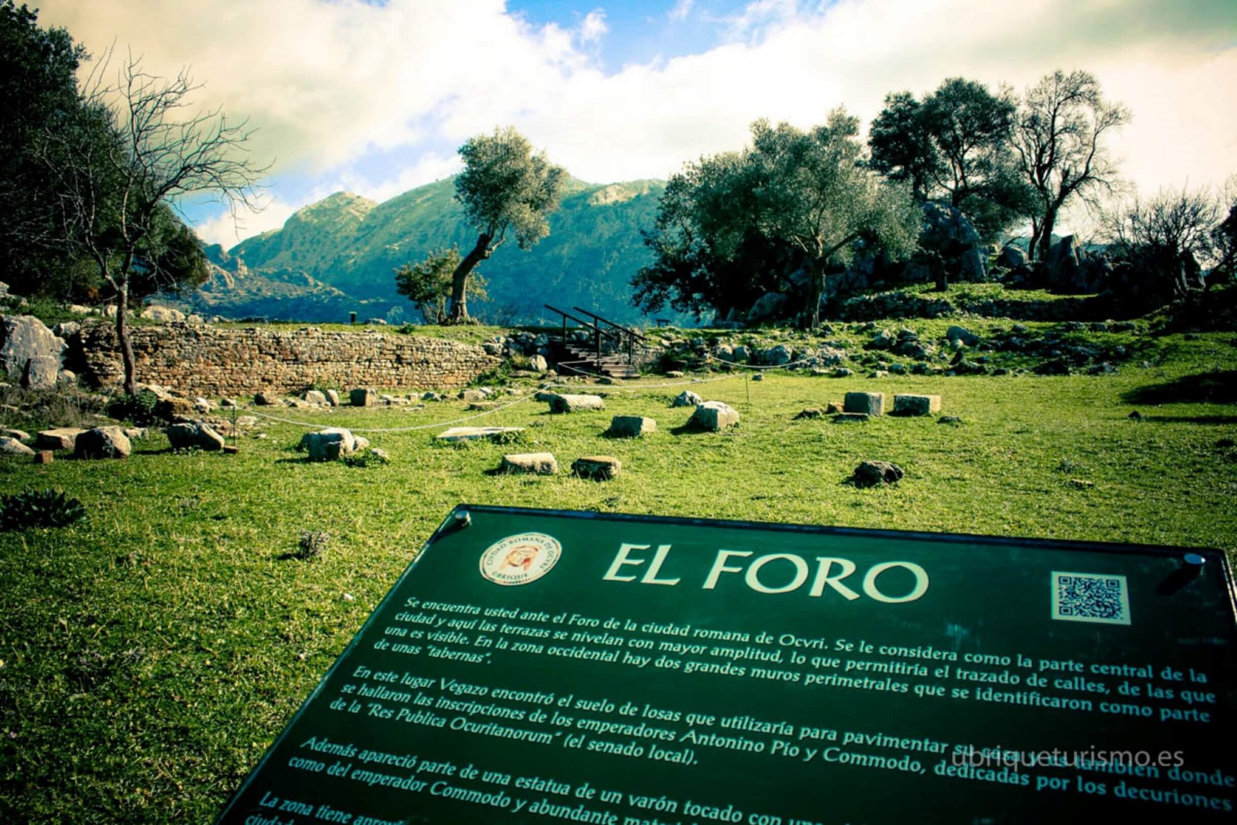
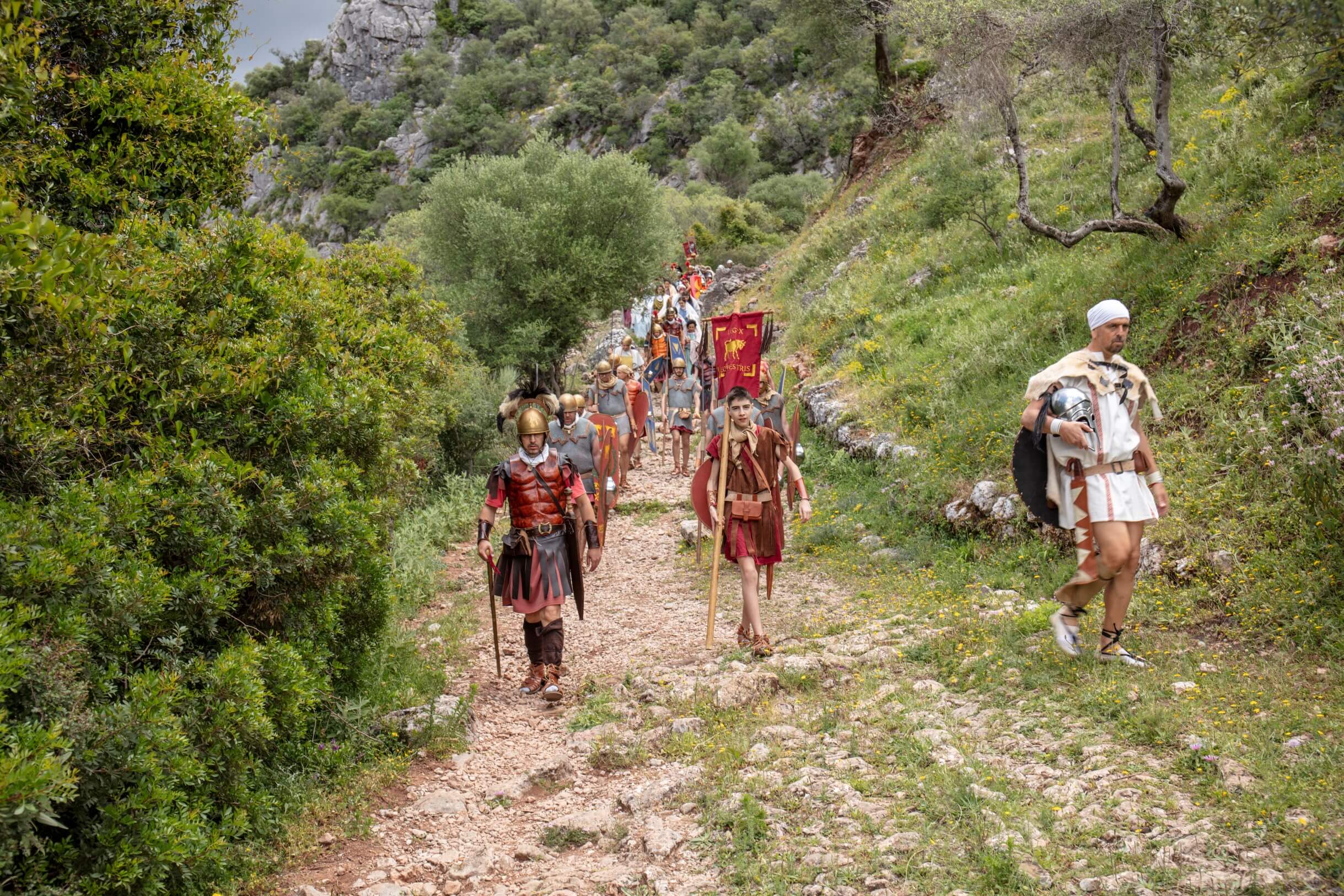
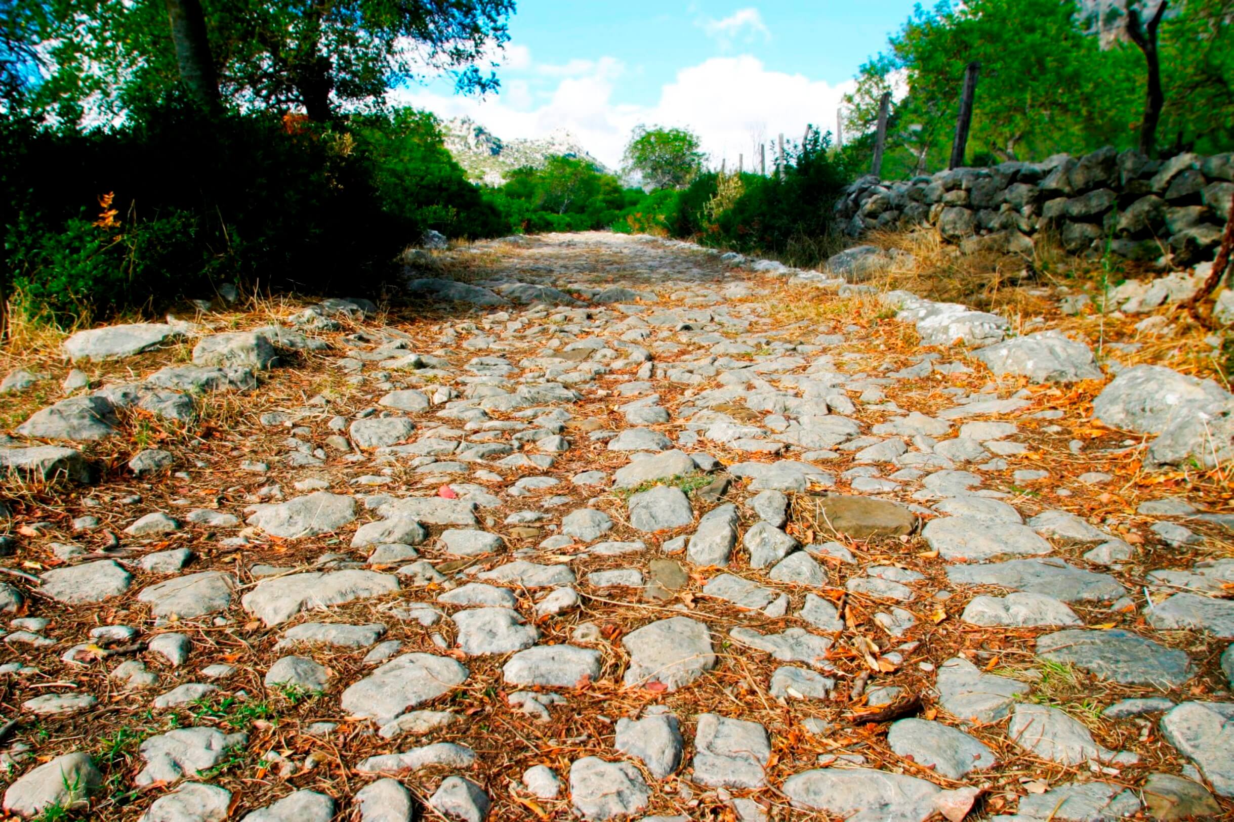
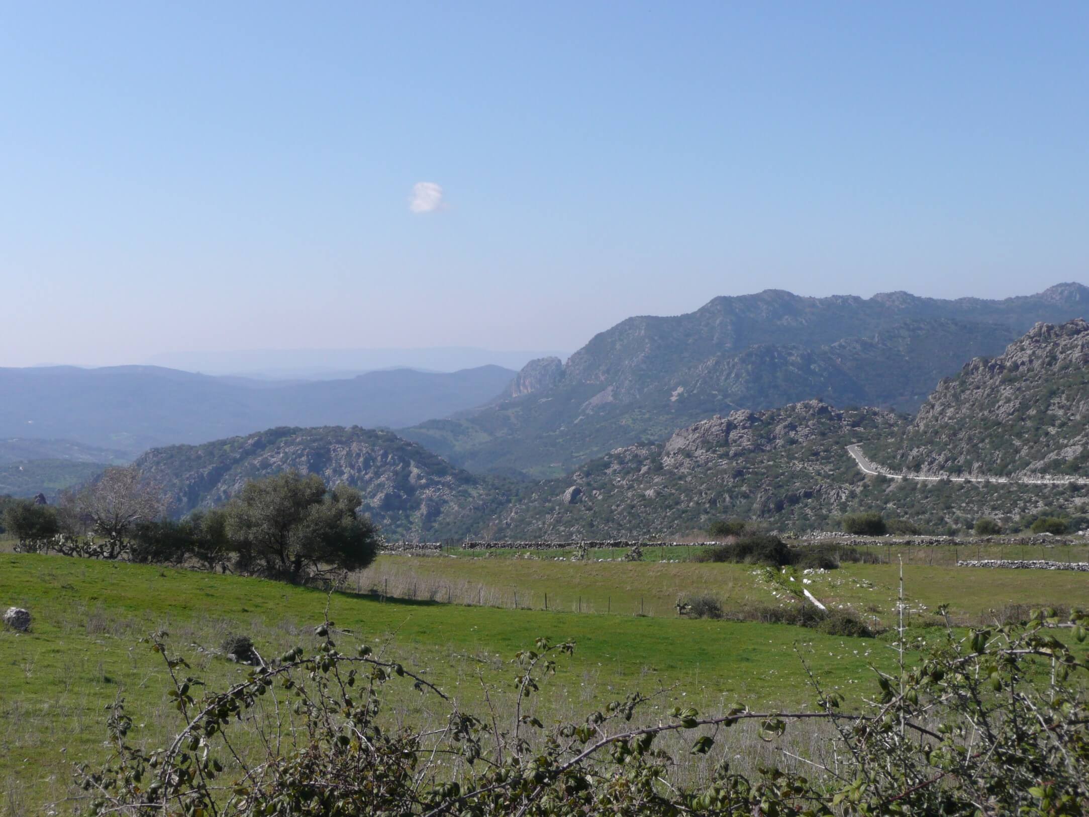
This track connects Benaocaz and Ubrique following a well-preserved Roman road, the origins of which are described on the trail’s informative signs. One of the most typical excursions of the Natural Park, its final part, towards Ubrique, goes deep into an oak forest, scattered with cattle farms. Once within the town, it is definitively worth visiting some of its typical fountains.
Brochure of the trail with further information, technical data sheet, profile of the route, recommendations and topographic map of the route: