Gira tu dispositivo para una experiencia óptima
Gira tu dispositivo para una experiencia óptima


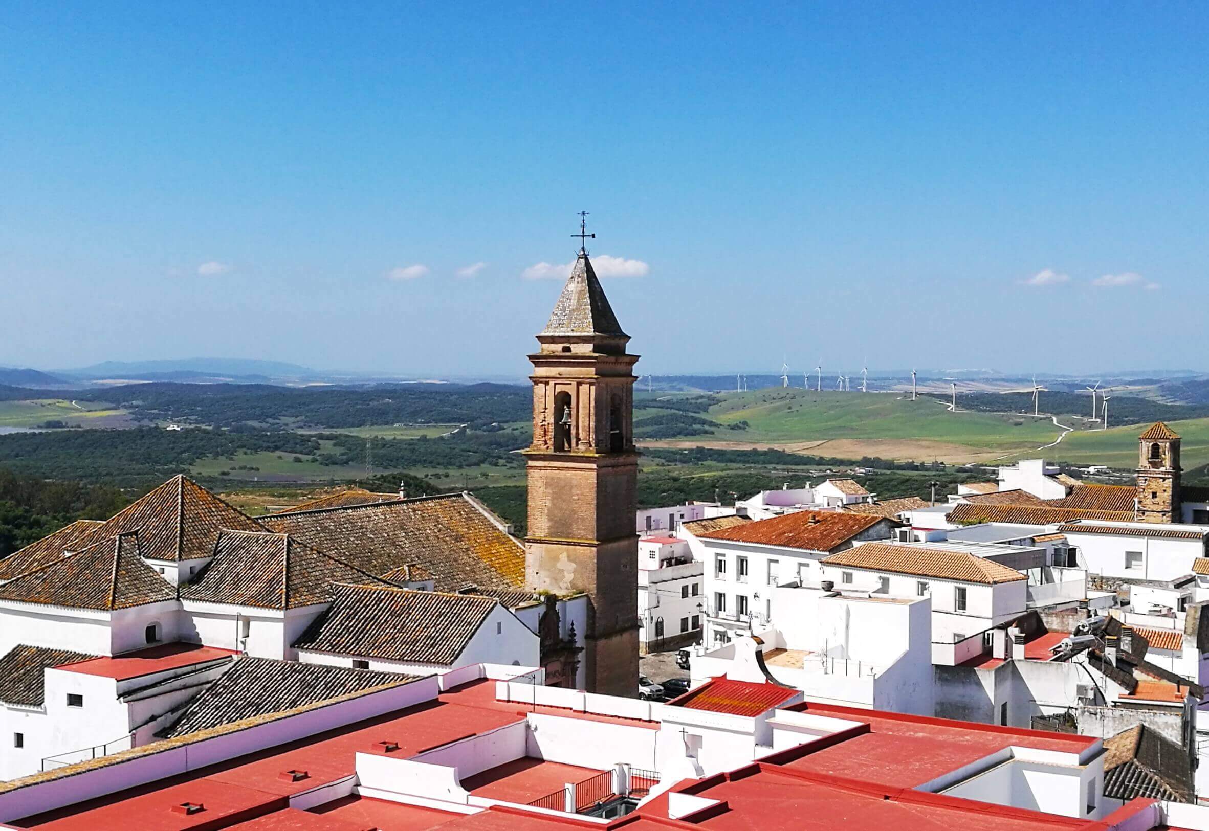
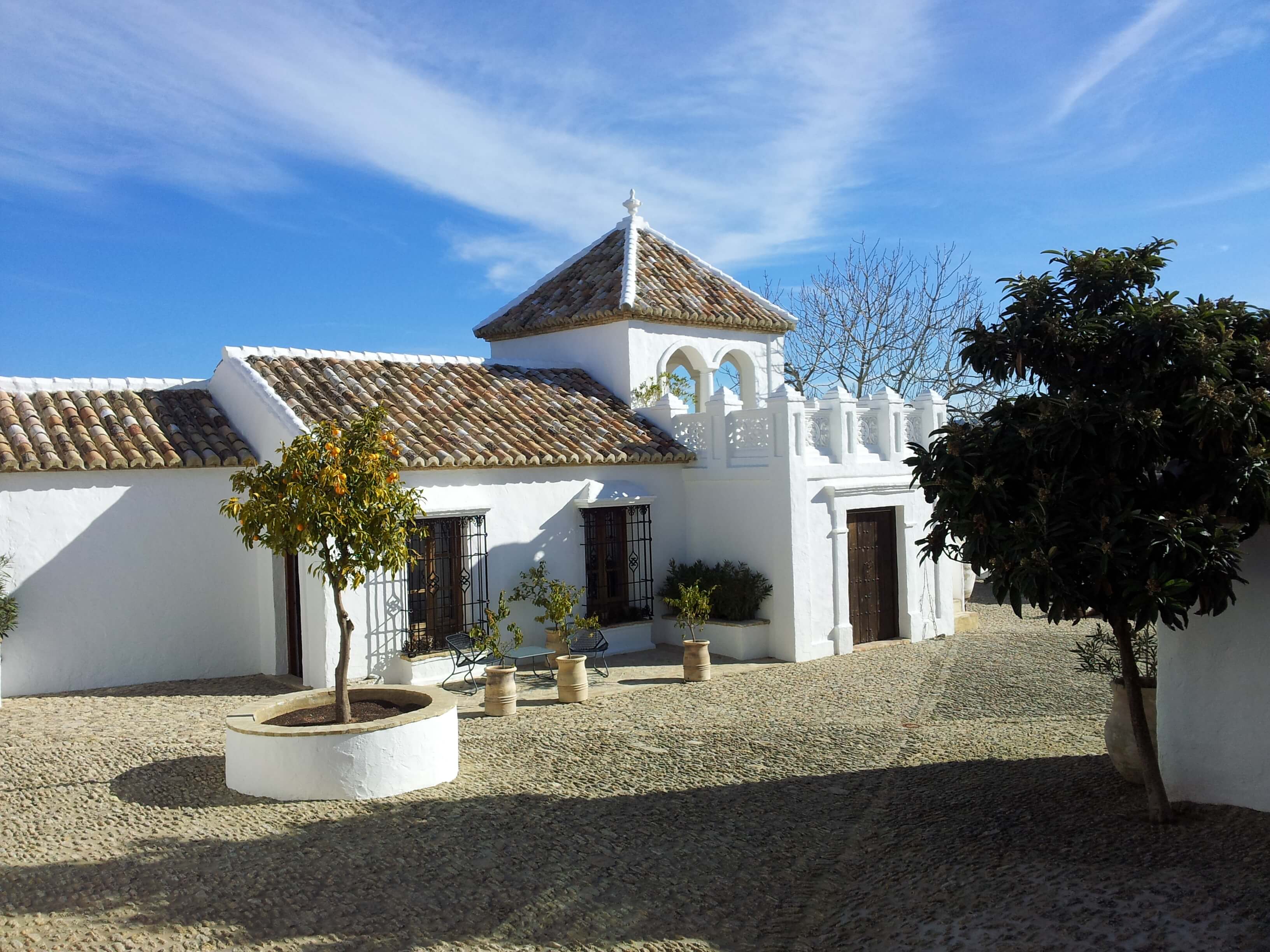
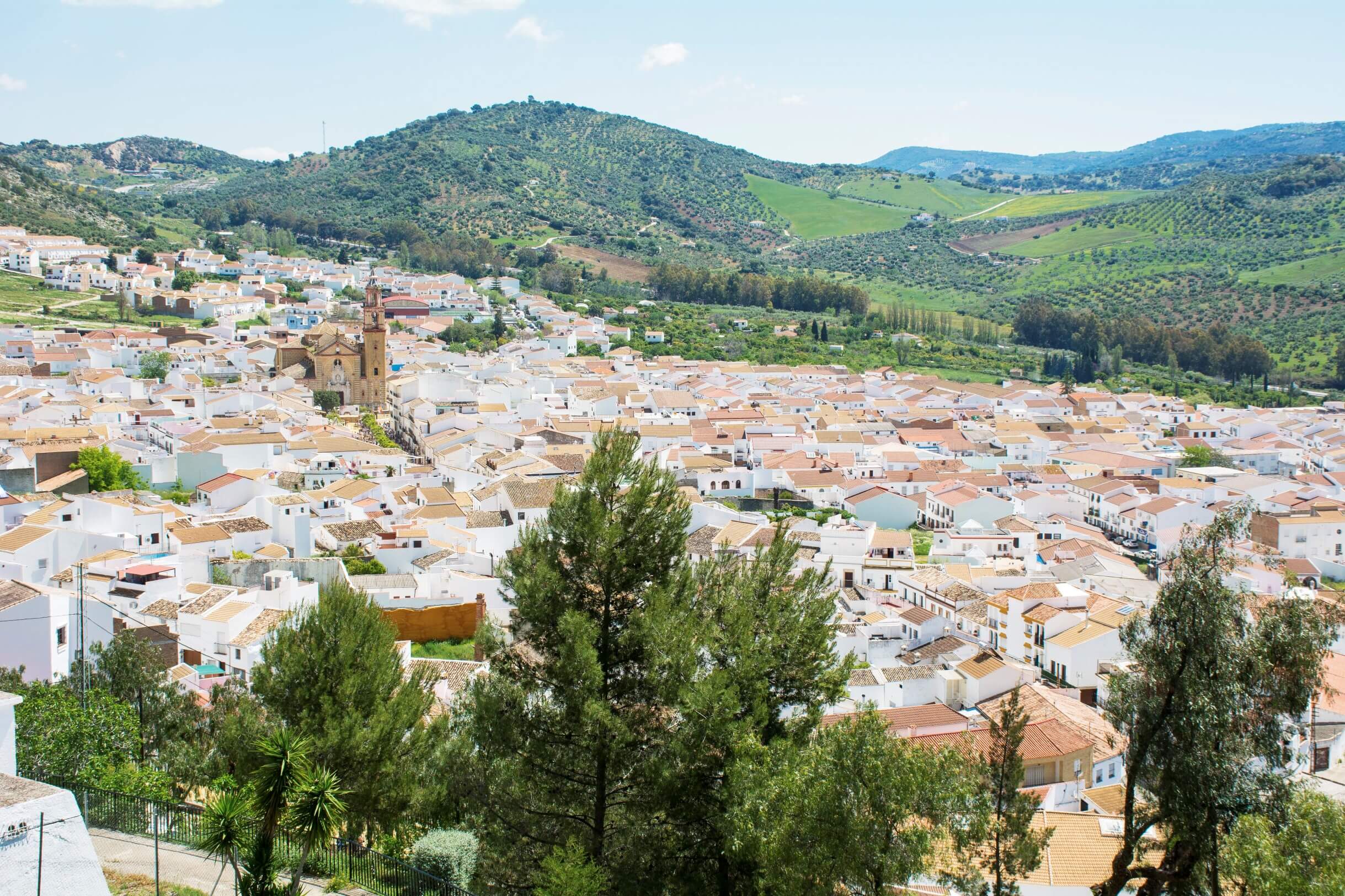
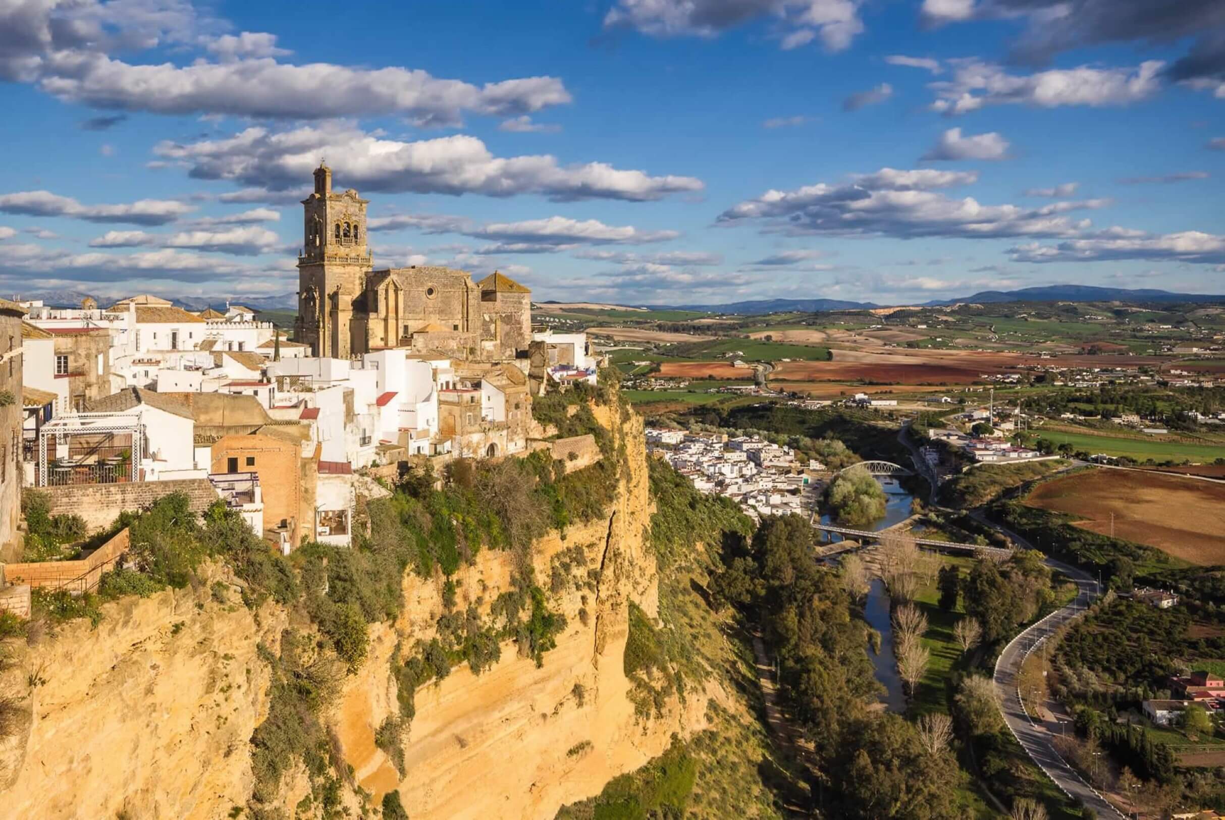
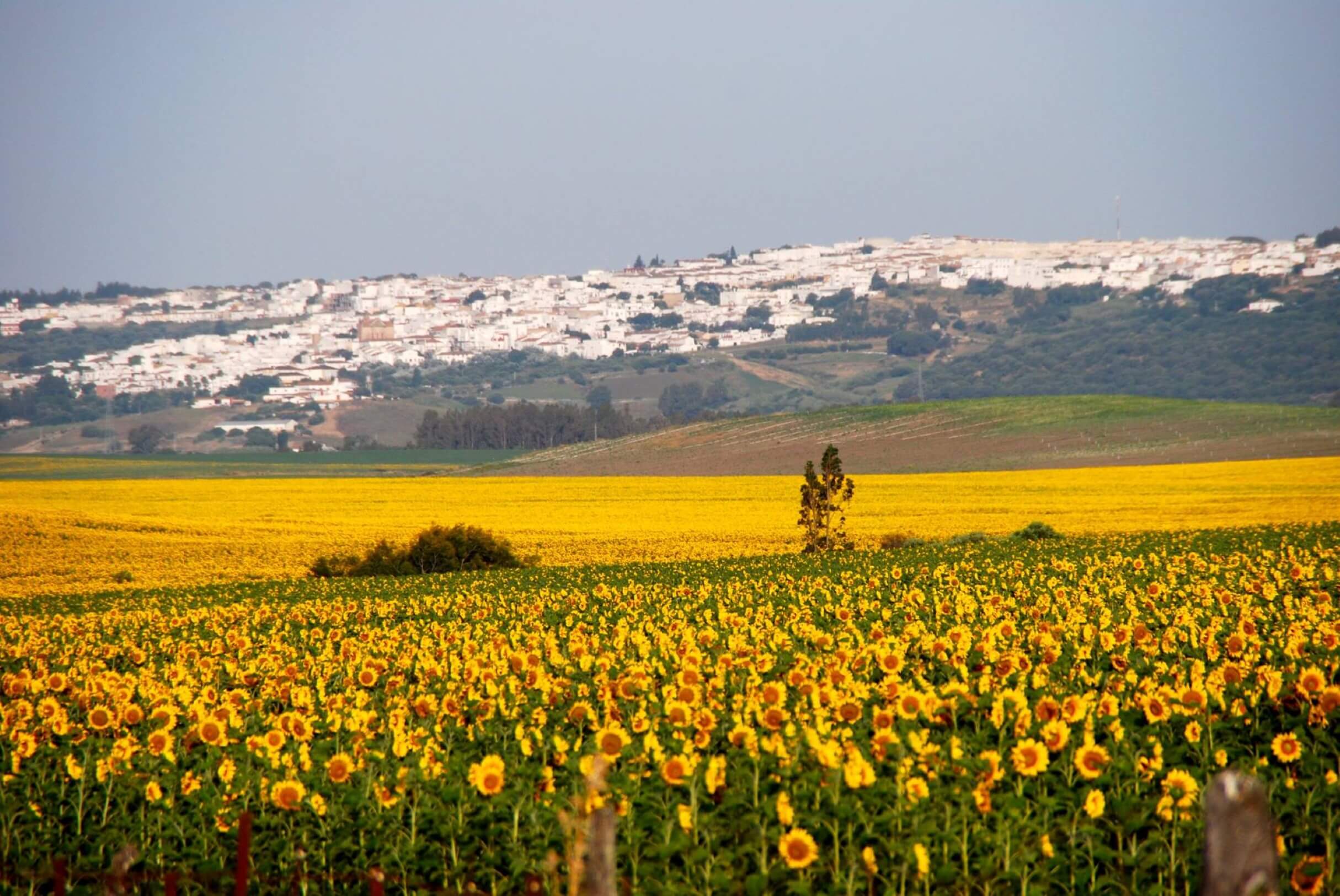
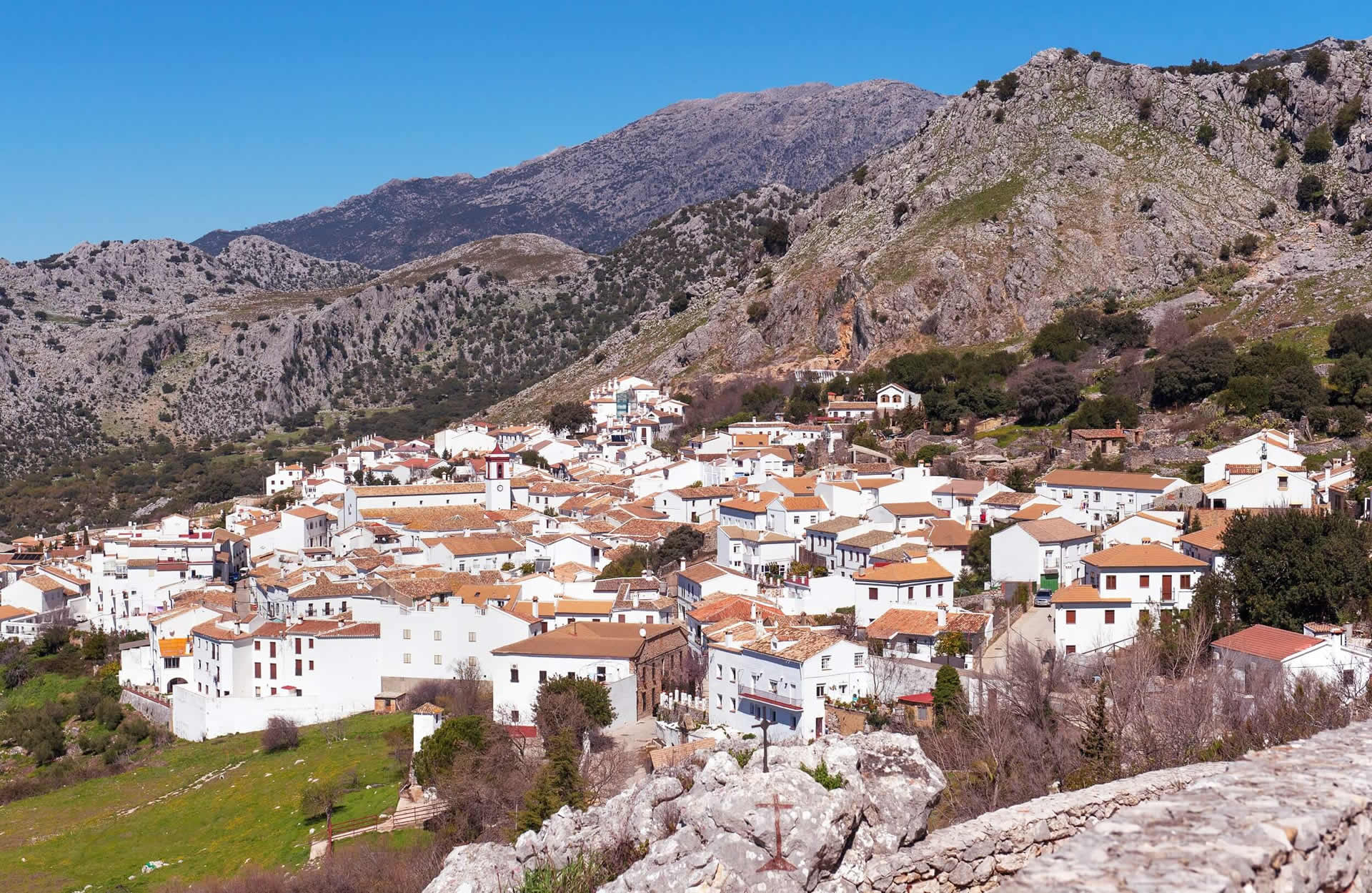
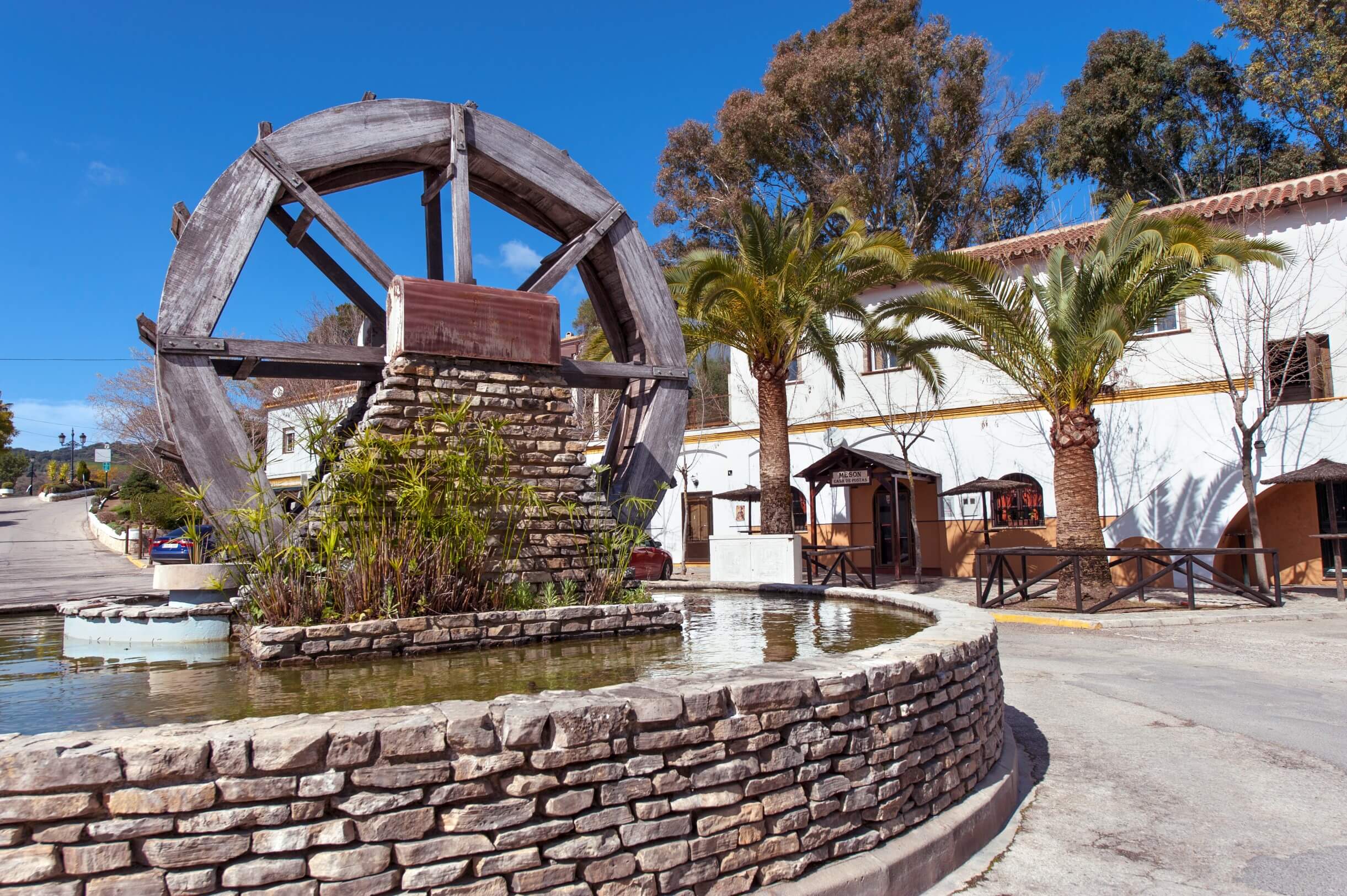
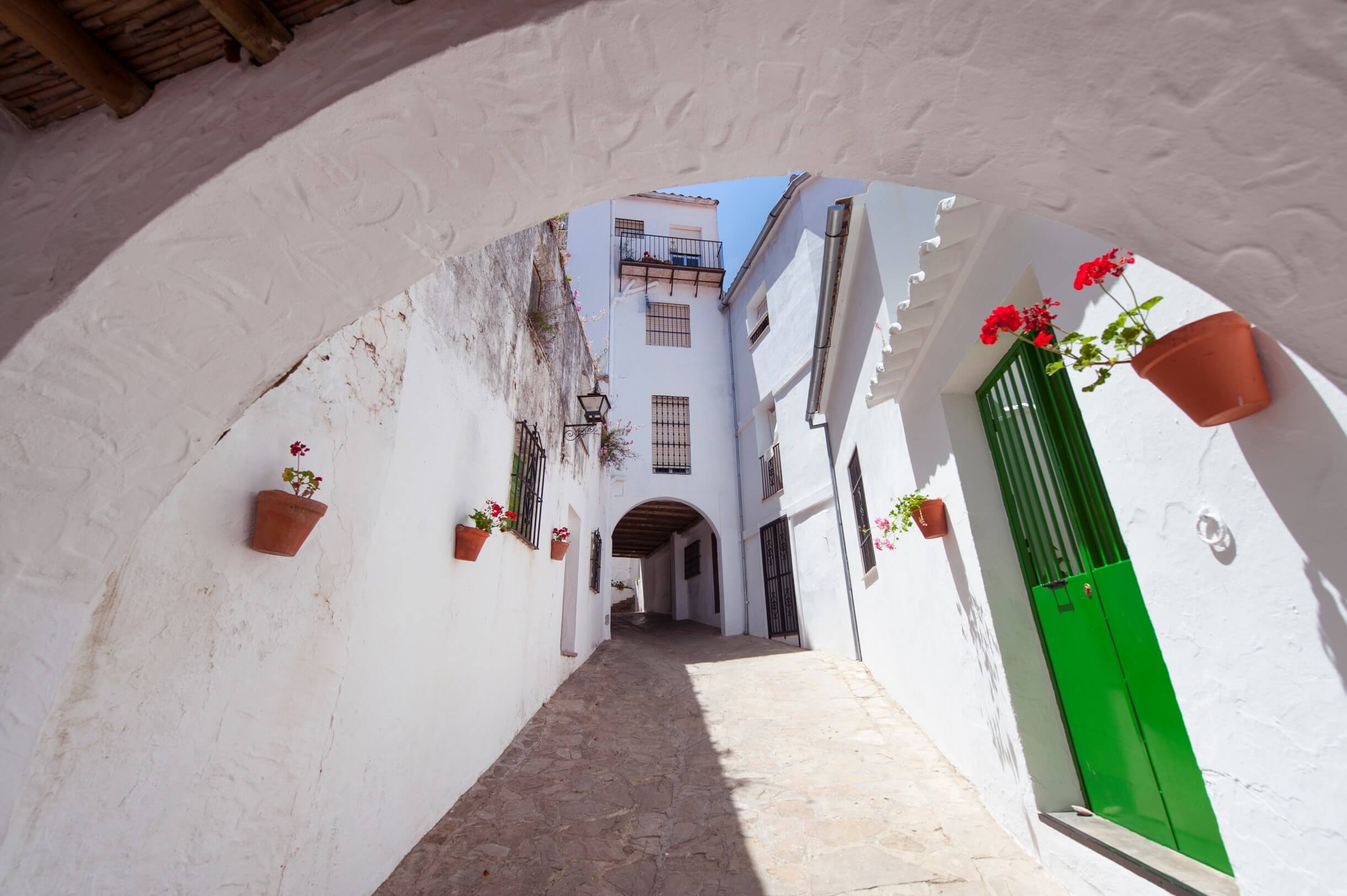
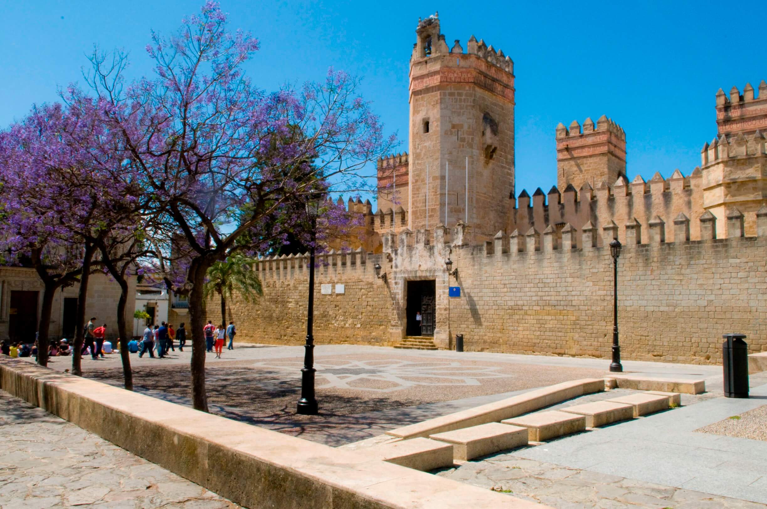
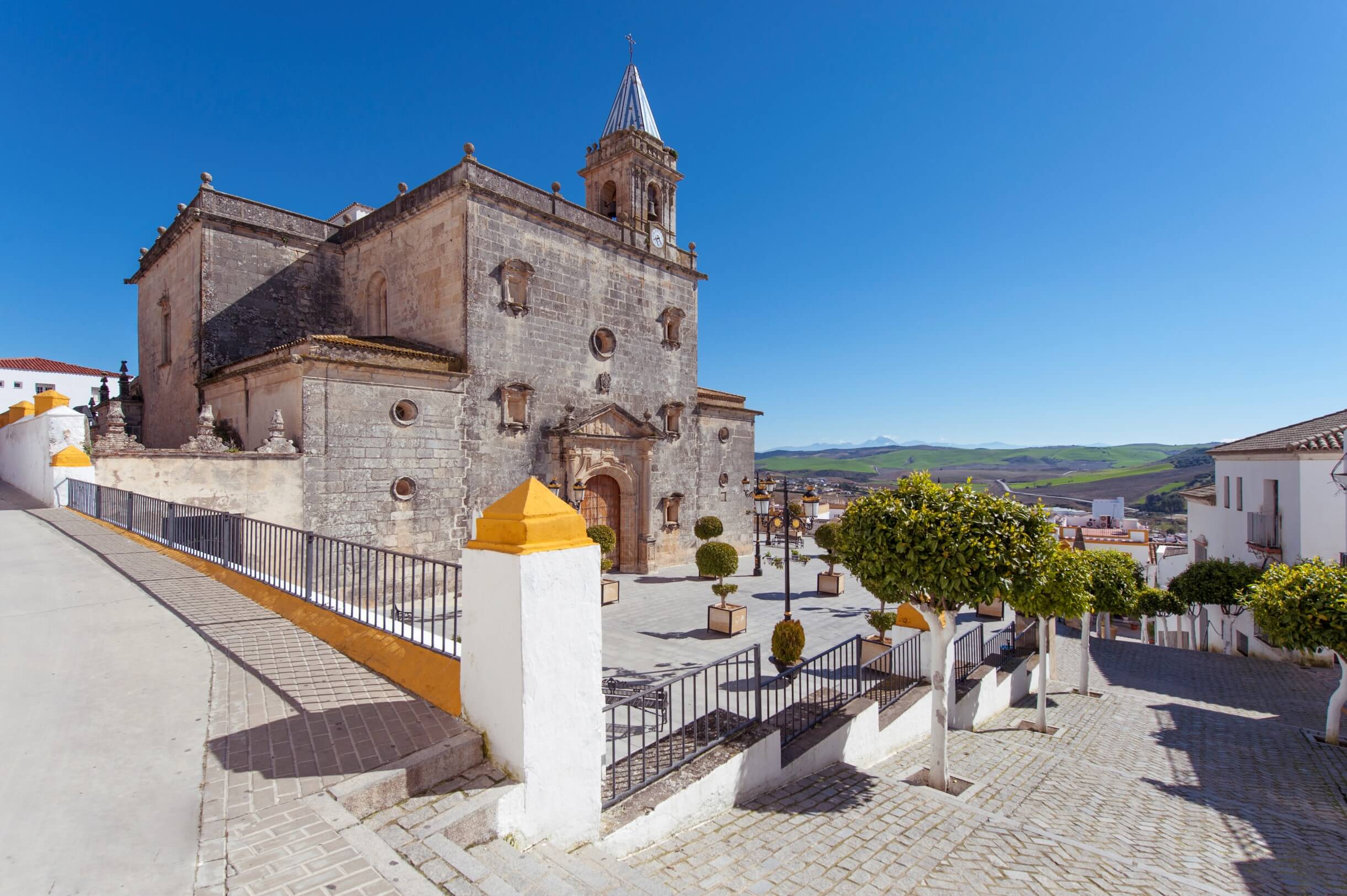
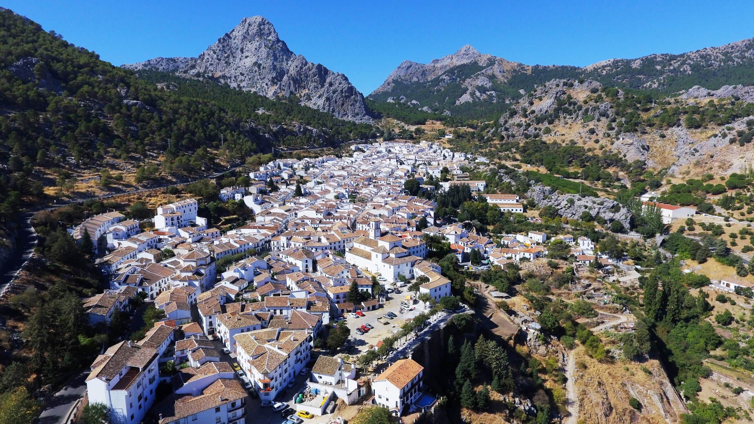
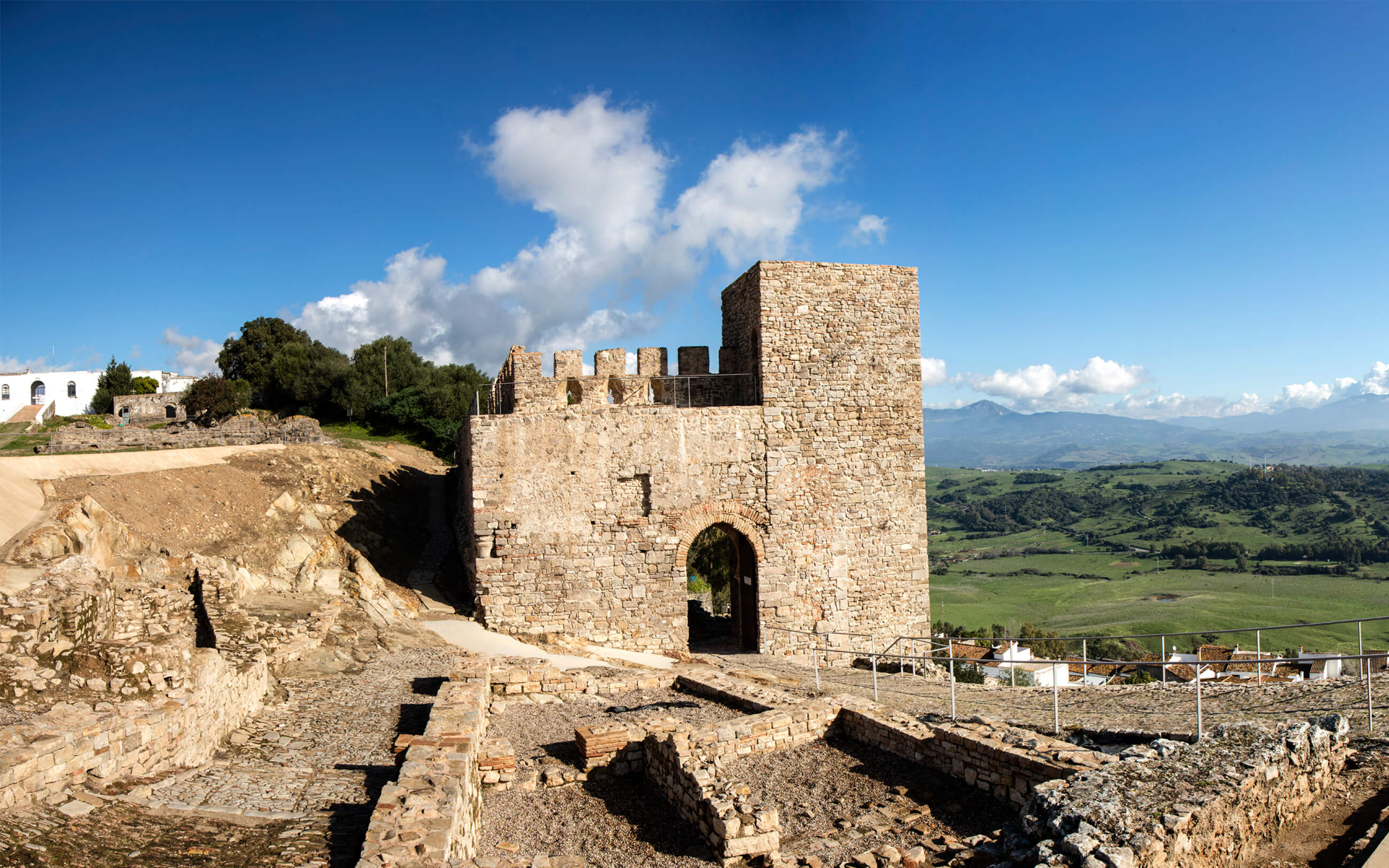
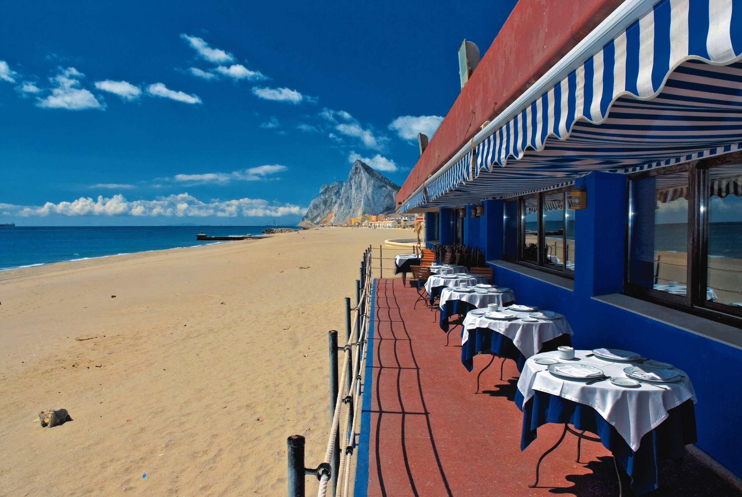
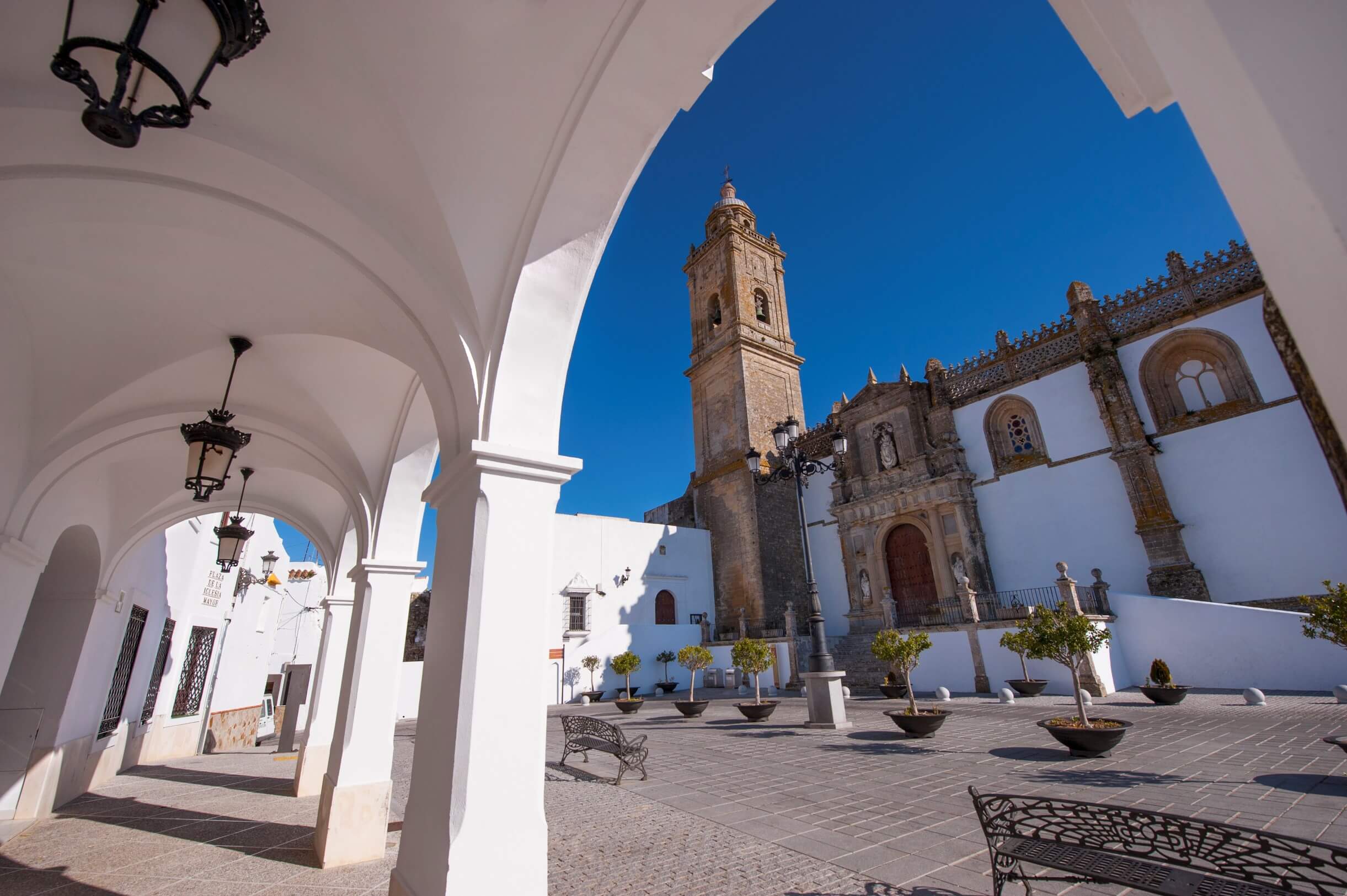
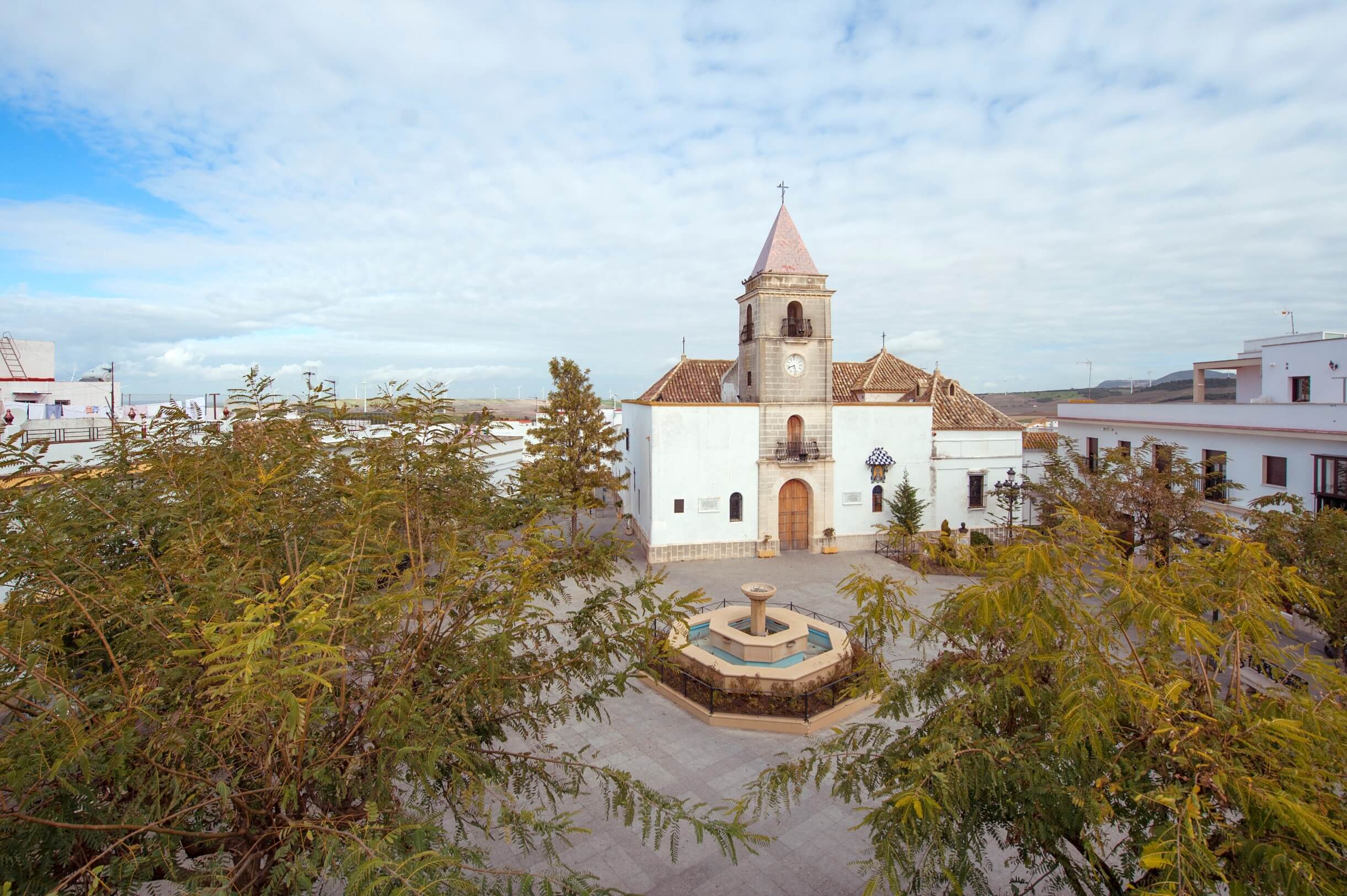
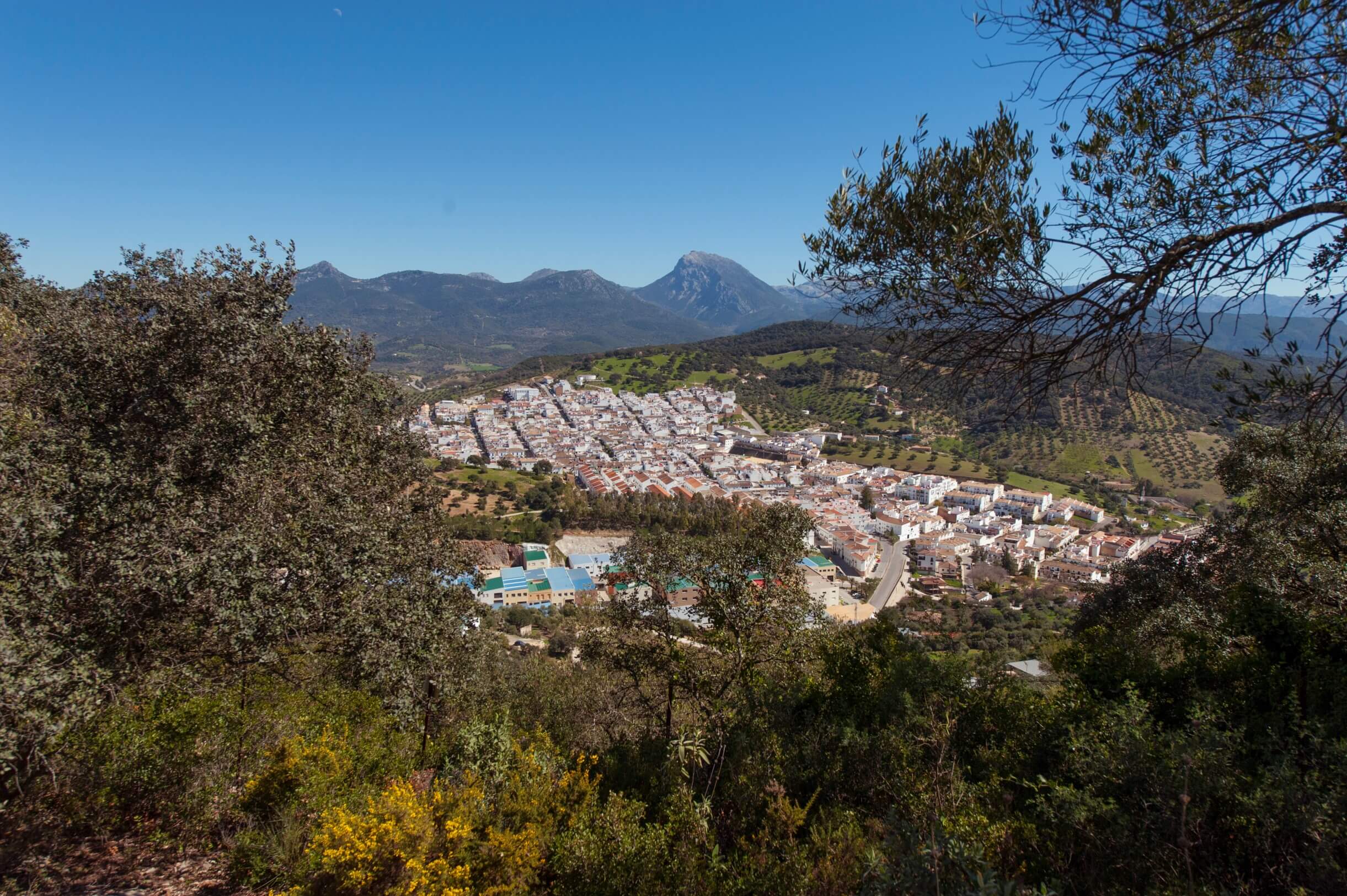
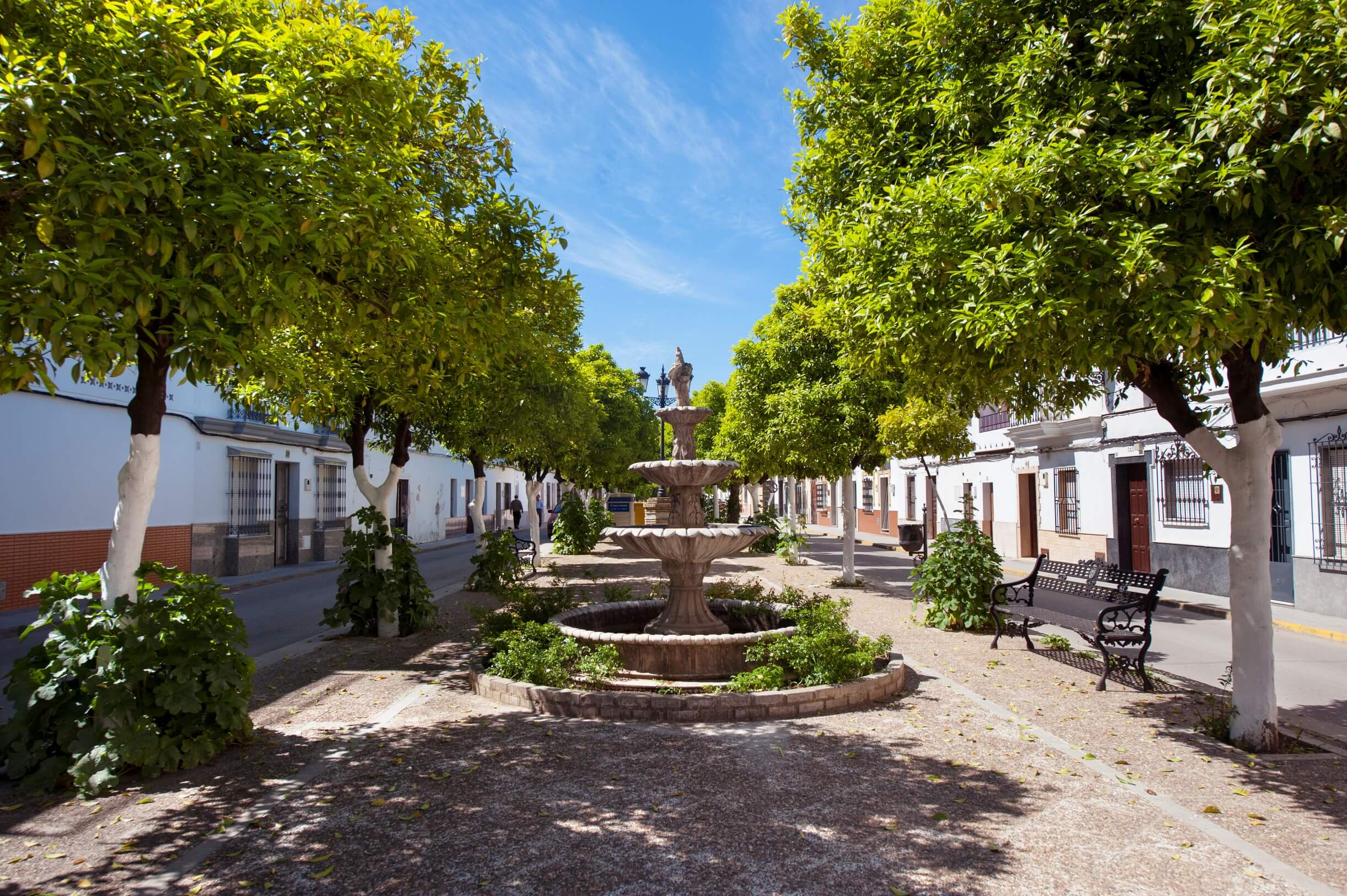
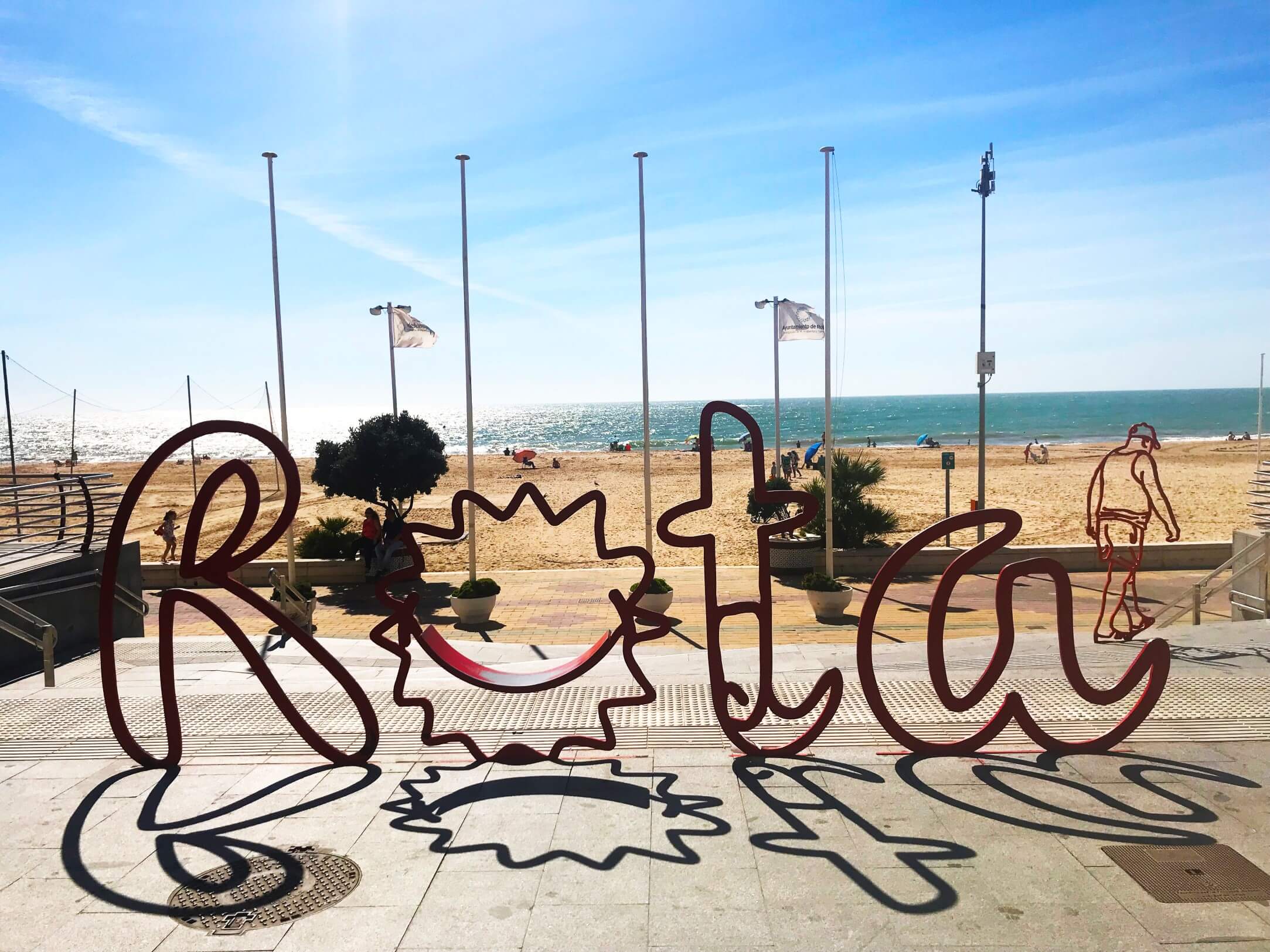
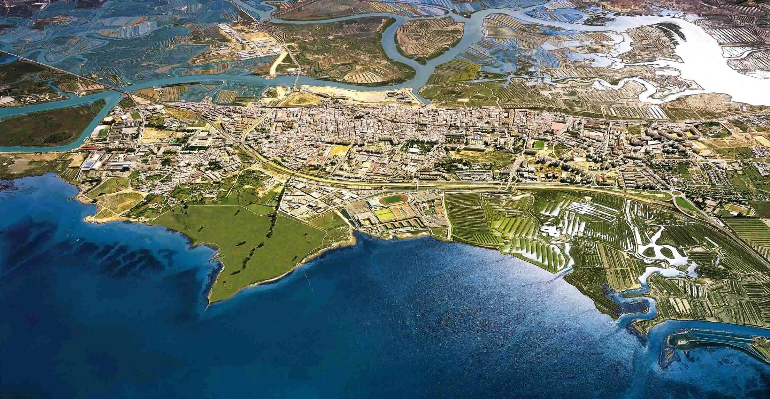
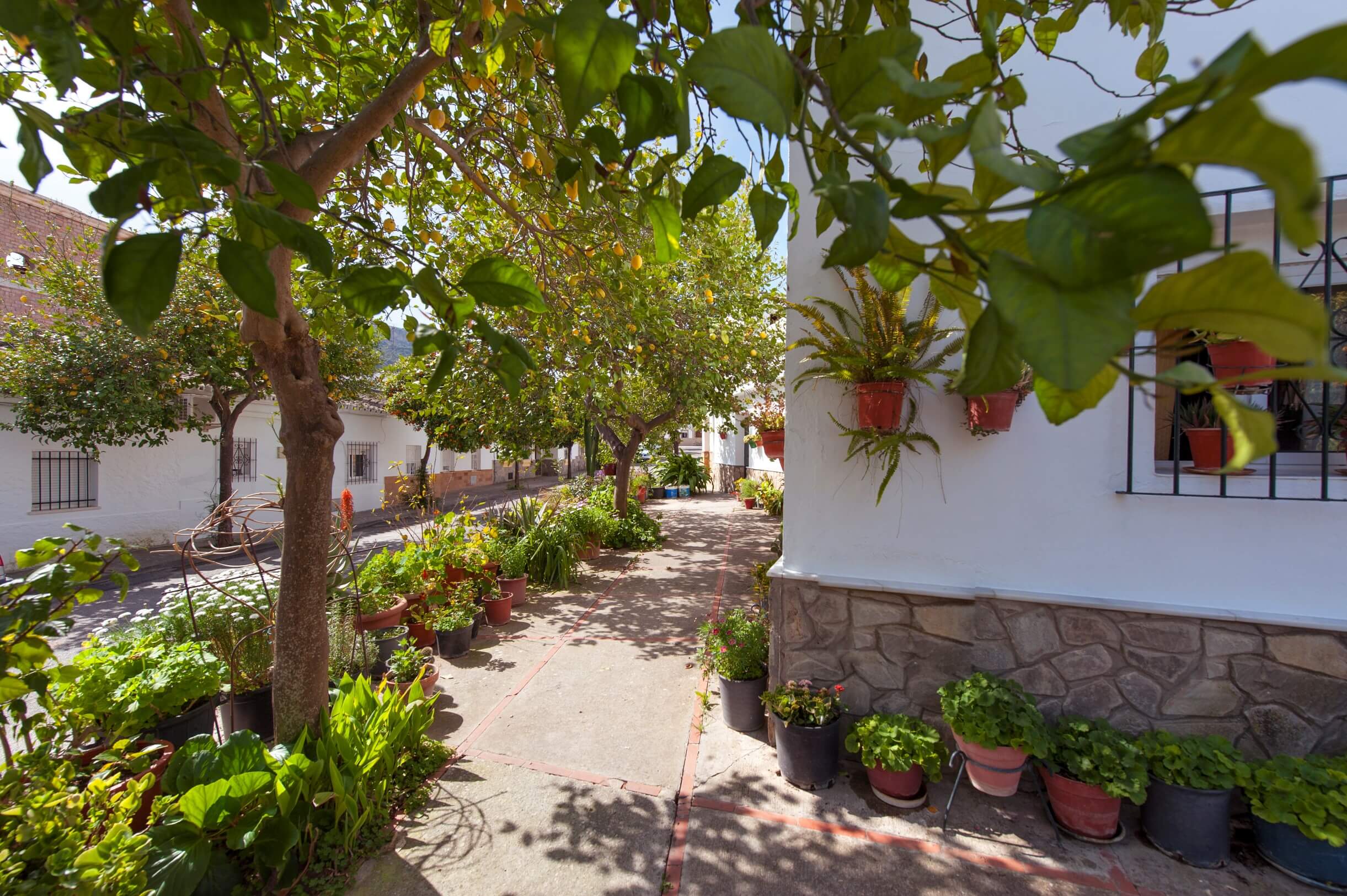
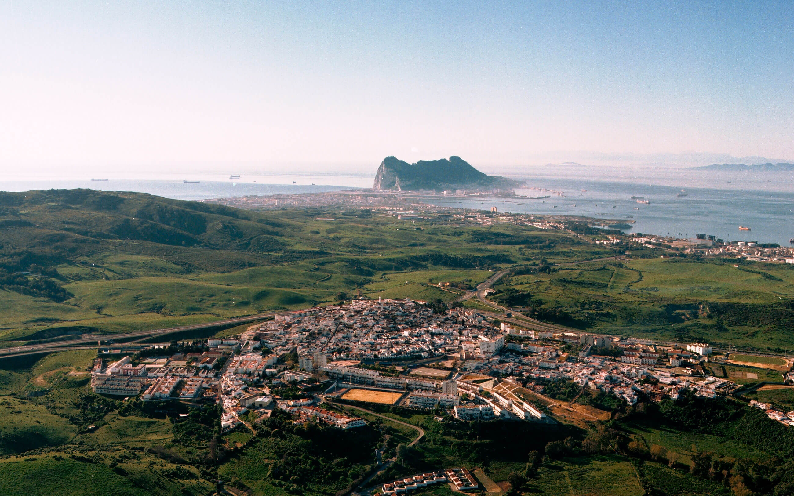
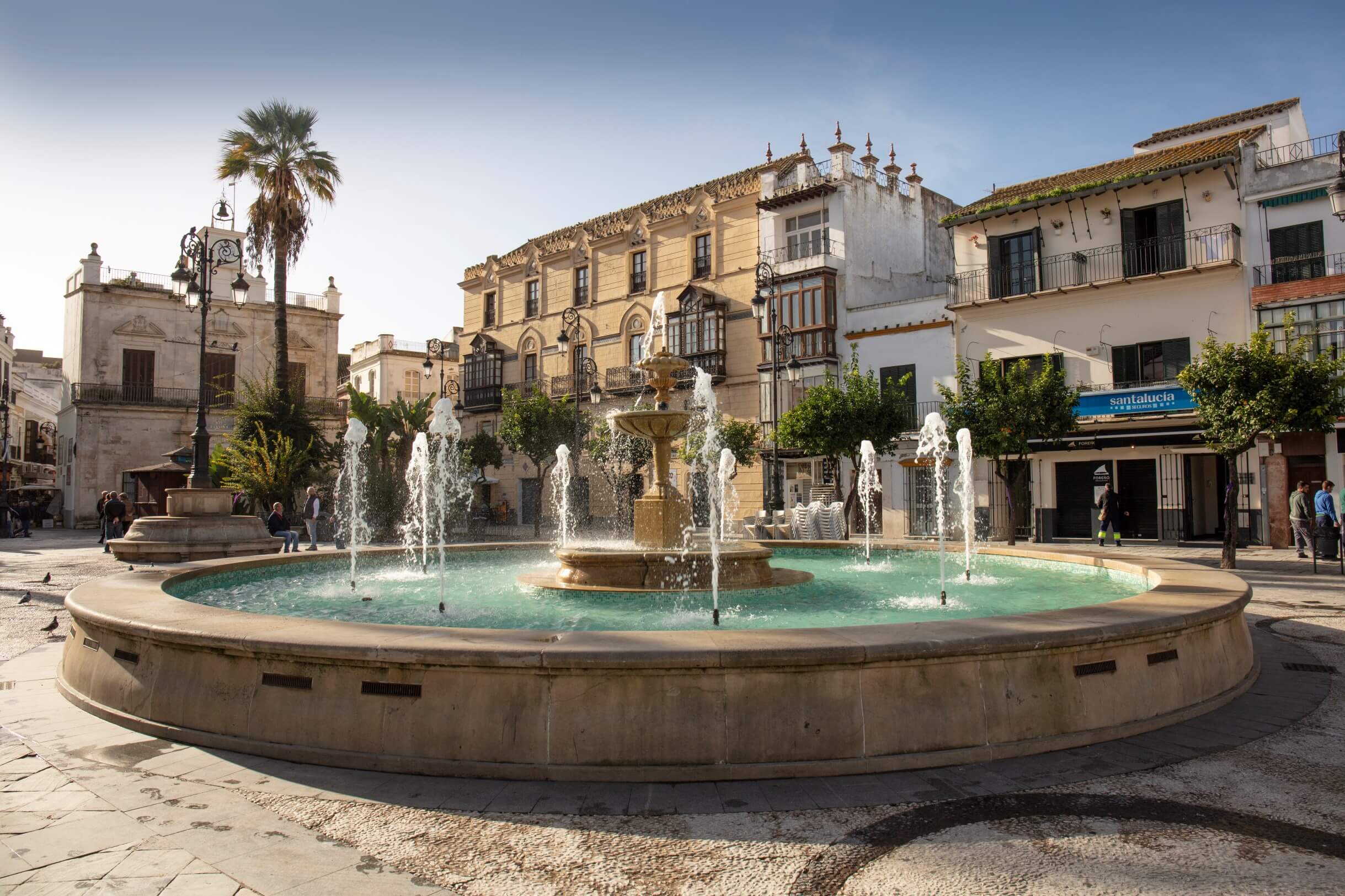
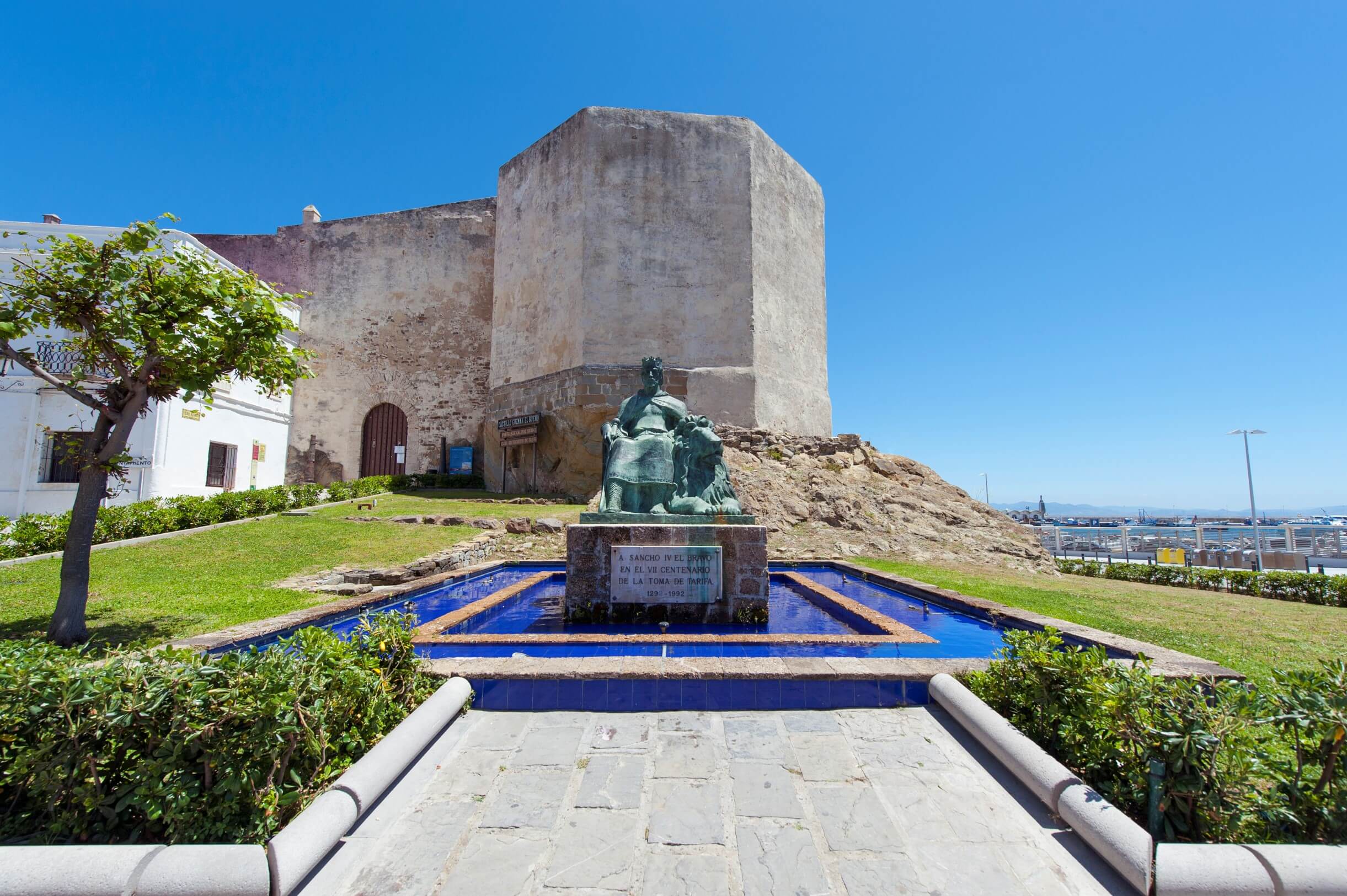
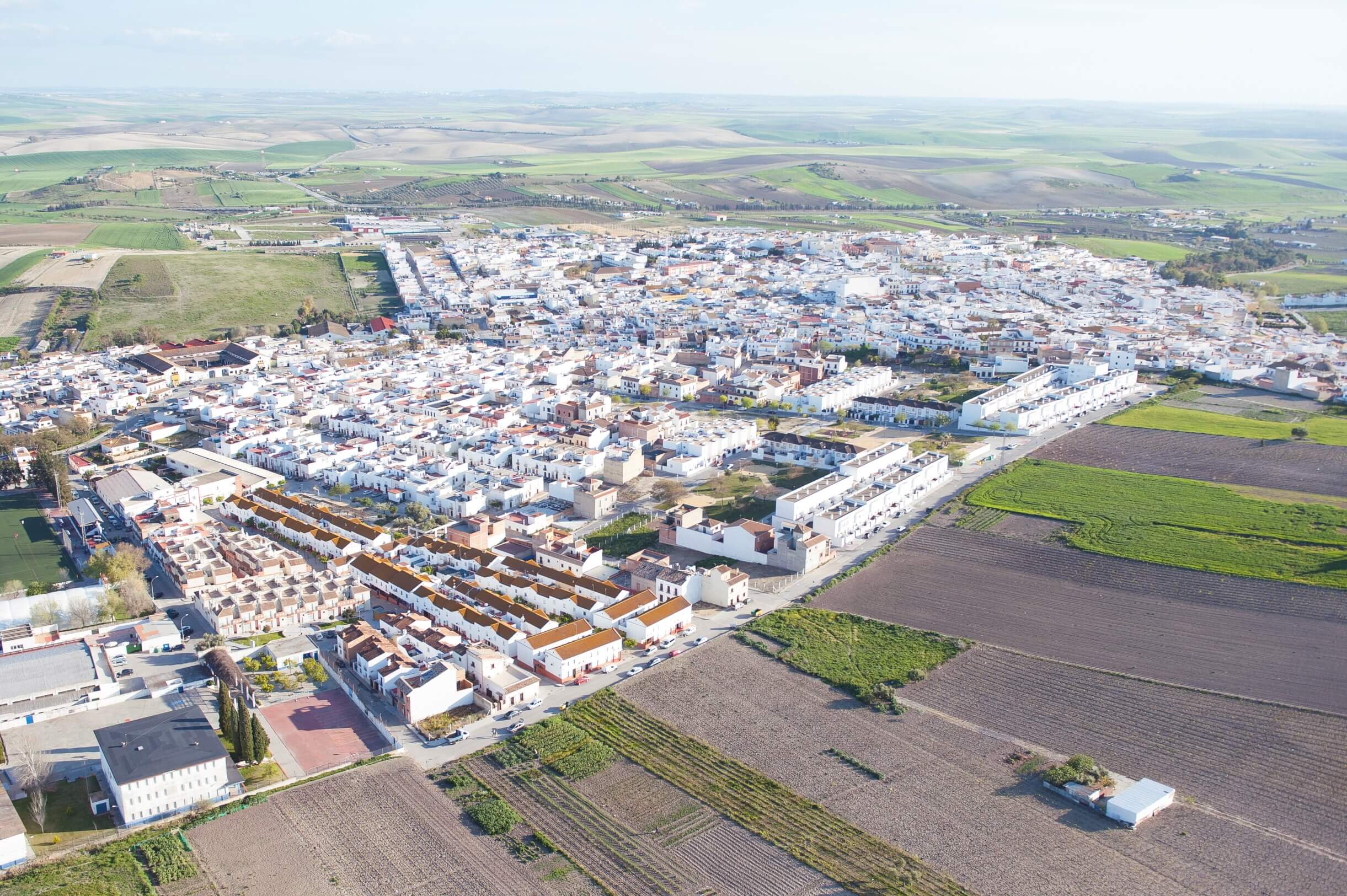
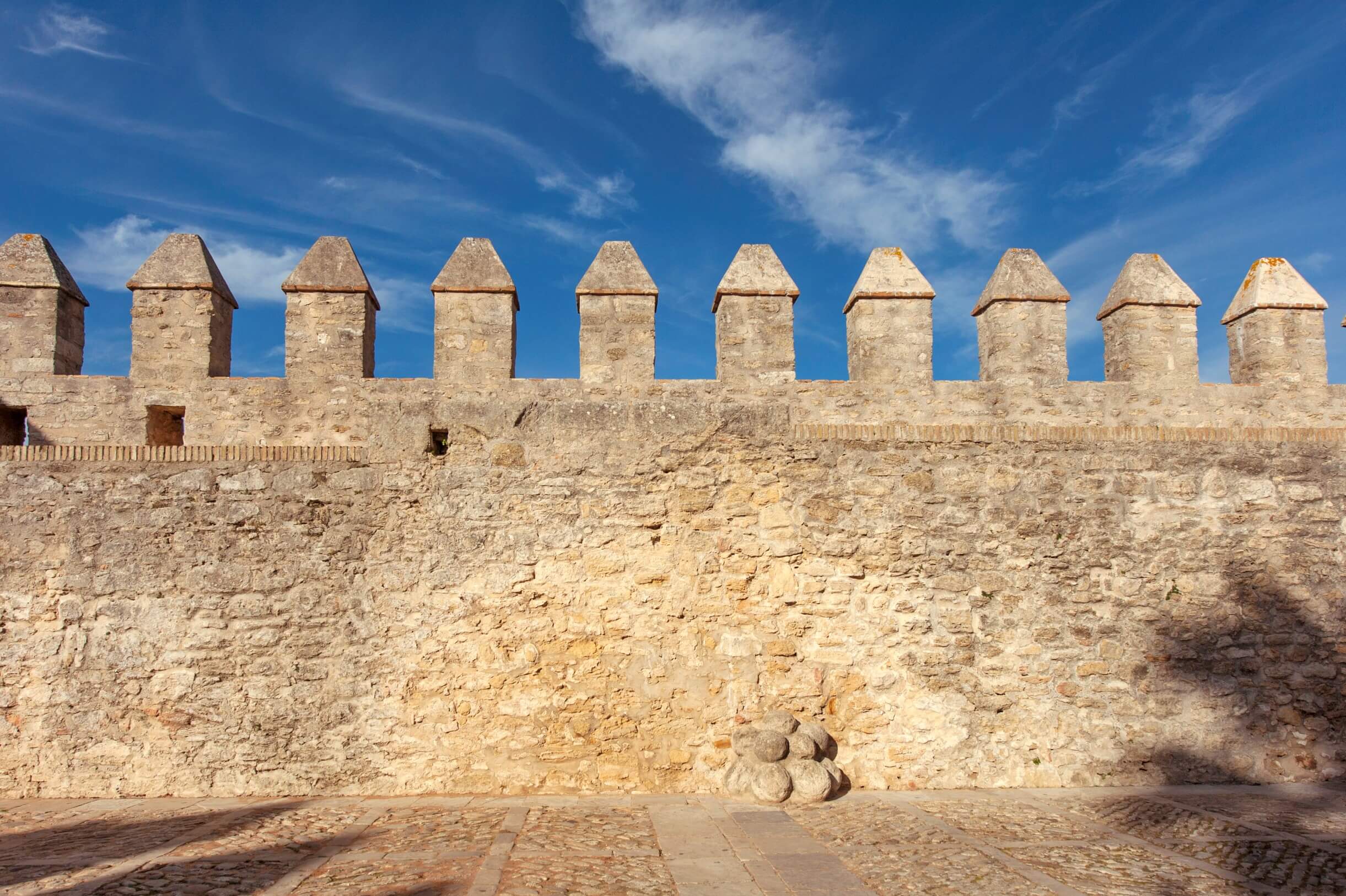
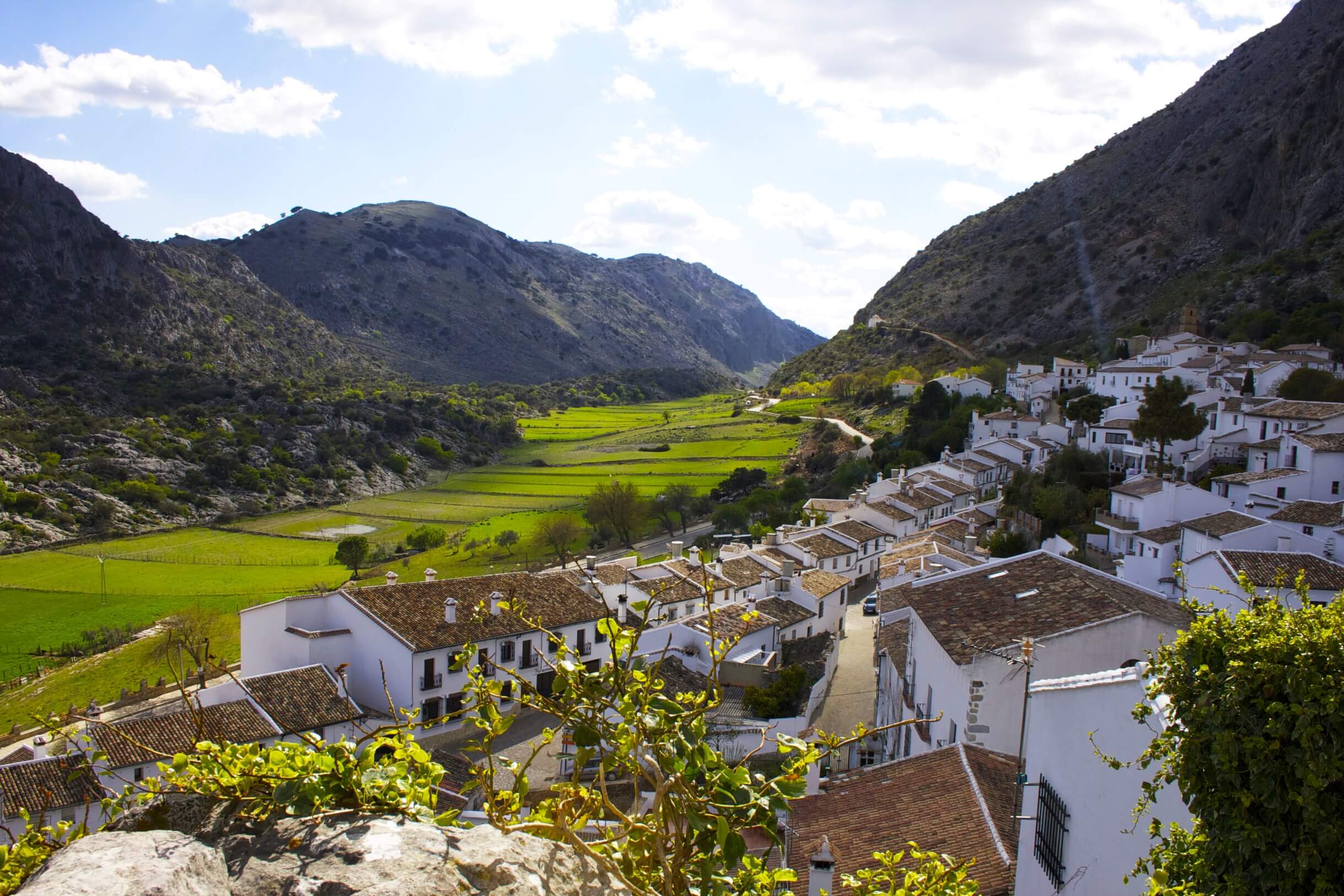
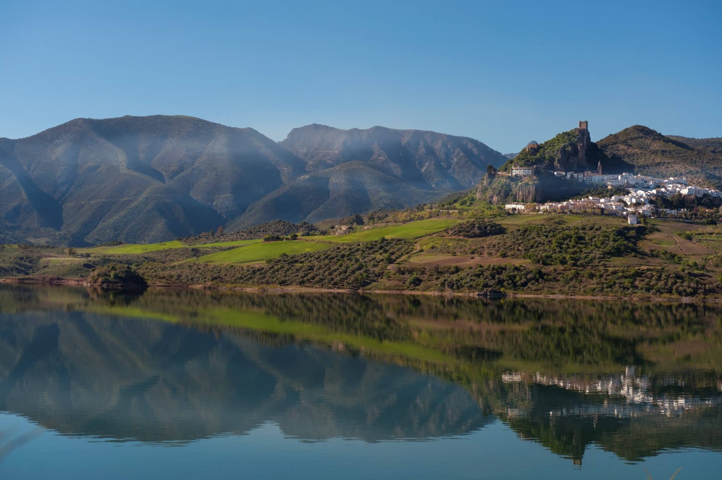
LA MAGIA HABITA EN CADA RINCÓN DE CÁDIZ
Una provincia que destaca por sus contrastes, 3000 años de historia y 45 municipios que esconden rincones increíbles en su gran variedad de paisajes y culturas.